Transport Functions
Rail
Road
Hub Profile
Region
47
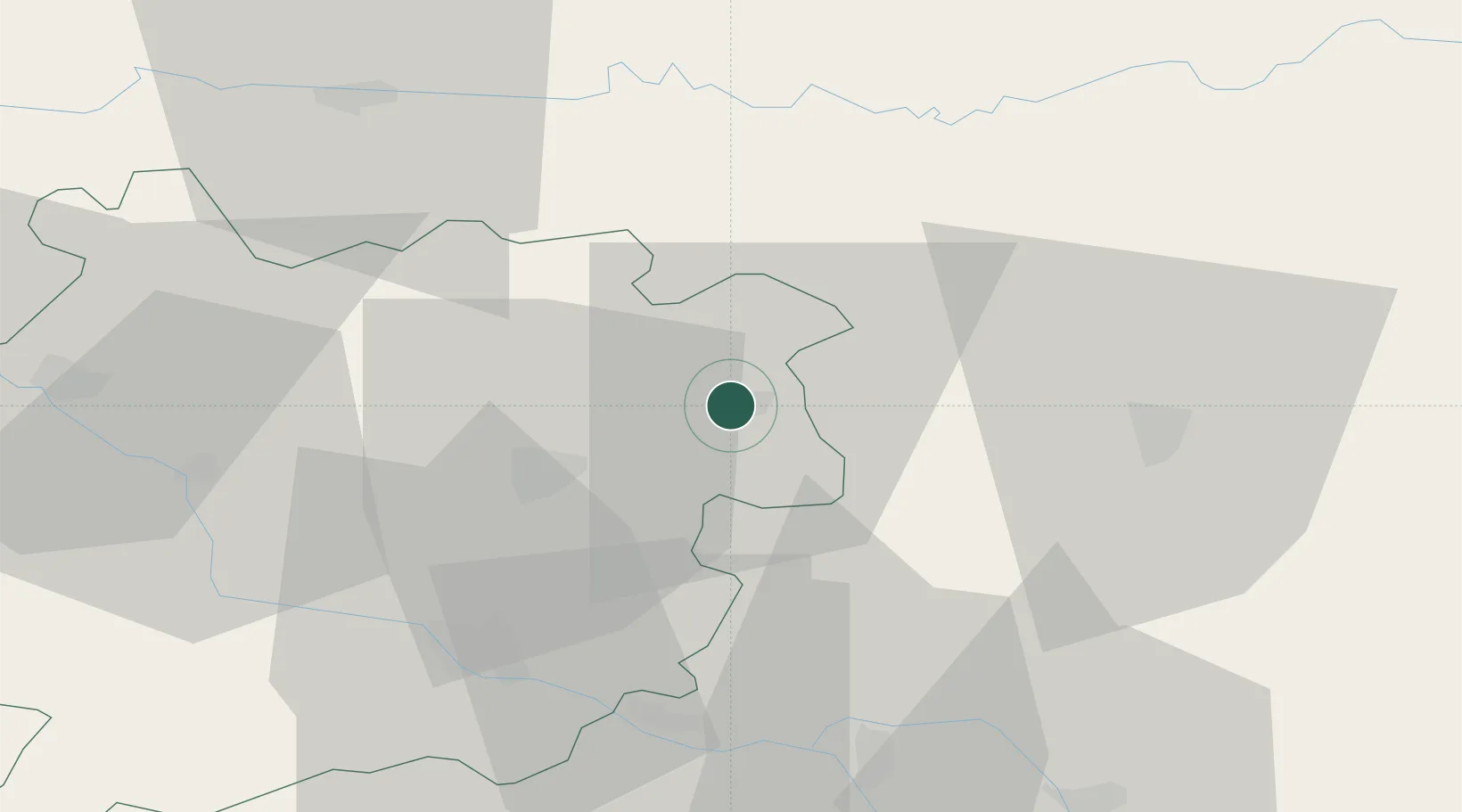
Location
Nearby Logistics Neighbours
Cities
- 1Soturac7 km
- 2Trentels8 km
- 3Lacapelle-Cabanac11 km
- 4Duravel11 km
- 5Vire-sur-Lot12 km
Airports
Trade Zones
- 1ZFU Toulouse106 km
- 2Port de Bordeaux125 km
- 3ZFU Hauts de Garonne126 km
- 4ZFU Clermont-Ferrand222 km
- 5ZFU Béziers223 km
DatabookThe Record of Consolidated Knowledge
France beyond logistics?