UN/LOCODE hub · France
FRBEG

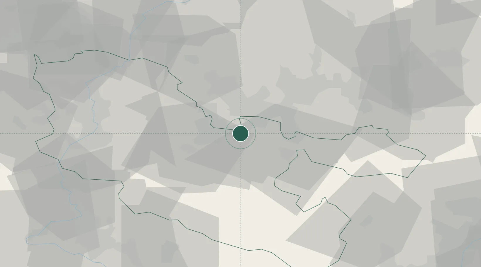
Béning-lès-Saint-Avold

49.1333°, 6.8333°
1,232
Population
1
Transport functions

Transport Functions

Rail
UN/LOCODE

Hub Profile

Place type
Populated place
GeoNames
Region
Grand Est
GeoNames
Population
1,232
GeoNames
Time zone
Europe/Paris
GeoNames
Elevation
237 m
GeoNames

Location

Location of FRBEG
Natural Earth 10m (public domain) · Grand Est · FRBEG · 49.13, 6.83GoogleOSMYandex

Nearby Logistics Neighbours

Cities
  1. 1Freyming-Merlebach3 km
  2. 2Morsbach4 km
  3. 3Forbach7 km
  4. 4Grossrosseln7 km
  5. 5Behren-lès-Forbach8 km
Nearest neighbours — logibook spatial index (haversine) over the source coordinates
Ports
  1. 1Bruxelles262 km
  2. 2Antwerpen289 km
  3. 3Ghent308 km
  4. 4Terneuzen327 km
  5. 5Hansweert327 km
Nearest neighbours — logibook spatial index (haversine) over the source coordinates
Airports
  1. 1Saarbrücken Airport22 km
  2. 2Metz-Nancy-Lorraine Airport46 km
  3. 3Phalsbourg-Bourscheid Air Base49 km
  4. 4Ramstein Air Base65 km
  5. 5Nancy-Essey Airport66 km
Nearest neighbours — logibook spatial index (haversine) over the source coordinates
Trade Zones
  1. 1ZFU La Cité Behren-lès-Forbach8 km
  2. 2ZFU Metz49 km
  3. 3ZFU Woippy-Metz50 km
  4. 4ZFU Maxéville, Laxou, et de Nancy68 km
  5. 5Luxembourg Free Port72 km
Nearest neighbours — logibook spatial index (haversine) over the source coordinates
DatabookThe Record of Consolidated Knowledge
France beyond logistics?
Browse databook

All Sources

LocationsUN/LOCODE
UN/LOCODE — free
LocationsGeoNames
CC BY 4.0
Portsthe NGA World Port Index
Public domain (US gov)
AirportsOurAirports
Public domain
Trade Zonesthe World Bank SEZ database
CC BY 4.0
Trade ZonesOpen Zone Map
CC BY
← France locations