Transport Functions
Port
Multimodal
Hub Profile
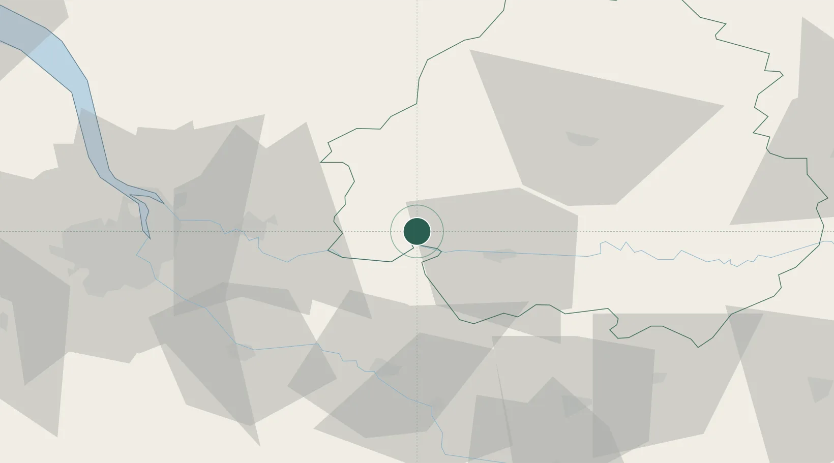
Place type
Populated place
Region
Nouvelle-Aquitaine
Time zone
Europe/Paris
Elevation
106 m
Location
Nearby Logistics Neighbours
Cities
- 1Le Fleix6 km
- 2Port-Sainte-Foy-et-Ponchapt10 km
- 3Saint-Antoine-de-Breuilh11 km
- 4Lunas12 km
- 5Saint-Martin-de-Gurson12 km
Airports
Trade Zones
- 1Port de Bordeaux62 km
- 2ZFU Hauts de Garonne66 km
- 3ZFU Toulouse174 km
- 4ZFU La Rochelle179 km
- 5ZFU Clermont-Ferrand241 km
DatabookThe Record of Consolidated Knowledge
France beyond logistics?