UN/LOCODE hub · France
FRVFD

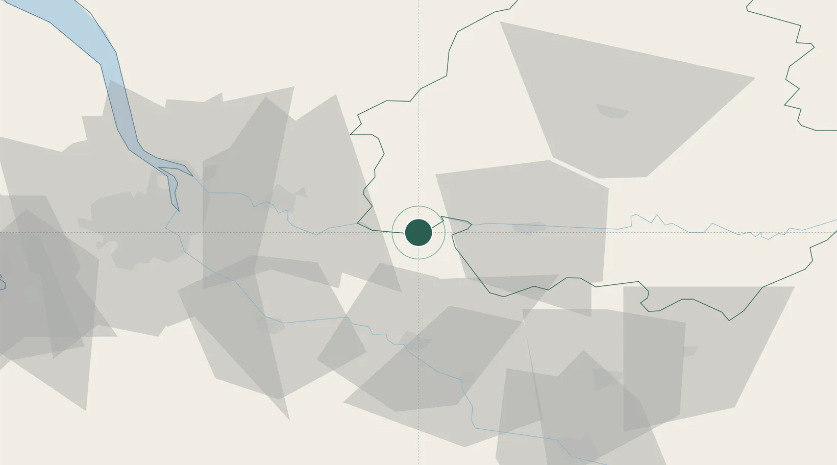
Saint-Antoine-de-Breuilh

44.8333°, 0.1667°
1,965
Population
1
Transport functions

Transport Functions

Multimodal
UN/LOCODE

Hub Profile

Place type
Populated place
GeoNames
Region
Nouvelle-Aquitaine
GeoNames
Population
1,965
GeoNames
Time zone
Europe/Paris
GeoNames
Elevation
19 m
GeoNames

Location

Location of FRVFD
Natural Earth 10m (public domain) · Nouvelle-Aquitaine · FRVFD · 44.83, 0.17GoogleOSMYandex

Nearby Logistics Neighbours

Cities
  1. 1Port-Sainte-Foy-et-Ponchapt3 km
  2. 2Saint-André-et-Appelles5 km
  3. 3Caplong6 km
  4. 4Pessac-sur-Dordogne7 km
  5. 5Le Fleix8 km
Nearest neighbours — logibook spatial index (haversine) over the source coordinates
Ports
  1. 1Bordeaux58 km
  2. 2Ambes59 km
  3. 3Blaye74 km
  4. 4Pauillac83 km
  5. 5Le Verdon124 km
Nearest neighbours — logibook spatial index (haversine) over the source coordinates
Airports
  1. 1Bergerac Dordogne-Périgord airport28 km
  2. 2Périgueux-Bassillac Airport65 km
  3. 3Bordeaux–Mérignac Airport70 km
  4. 4Agen La Garenne airport81 km
  5. 5Cognac-Châteaubernard (BA 709) Air Base99 km
Nearest neighbours — logibook spatial index (haversine) over the source coordinates
Trade Zones
  1. 1Port de Bordeaux56 km
  2. 2ZFU Hauts de Garonne59 km
  3. 3ZFU Toulouse170 km
  4. 4ZFU La Rochelle183 km
  5. 5Depósito Franco de Pasajes (Guipúzcoa)237 km
Nearest neighbours — logibook spatial index (haversine) over the source coordinates
DatabookThe Record of Consolidated Knowledge
France beyond logistics?
Browse databook

All Sources

LocationsUN/LOCODE
UN/LOCODE — free
LocationsGeoNames
CC BY 4.0
Portsthe NGA World Port Index
Public domain (US gov)
AirportsOurAirports
Public domain
Trade Zonesthe World Bank SEZ database
CC BY 4.0
Trade ZonesOpen Zone Map
CC BY
← France locations