Transport Functions
Multimodal
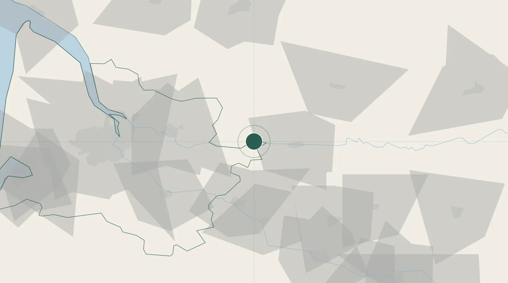
Hub Profile
Place type
Populated place
Region
Nouvelle-Aquitaine
Population
1,480
Time zone
Europe/Paris
Elevation
20 m
Location
Nearby Logistics Neighbours
Cities
- 1Port-Sainte-Foy-et-Ponchapt5 km
- 2Monfaucon6 km
- 3Saint-Antoine-de-Breuilh8 km
- 4Saint-André-et-Appelles8 km
- 5Saussignac9 km
Airports
Trade Zones
- 1Port de Bordeaux62 km
- 2ZFU Hauts de Garonne65 km
- 3ZFU Toulouse169 km
- 4ZFU La Rochelle184 km
- 5ZFU Clermont-Ferrand244 km
DatabookThe Record of Consolidated Knowledge
France beyond logistics?