Transport Functions
Multimodal
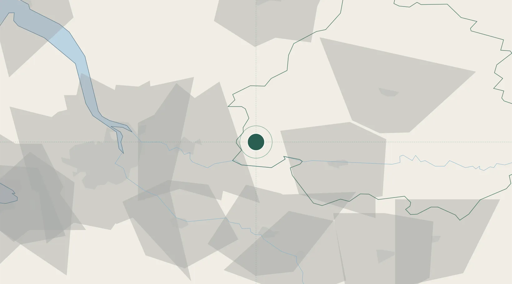
Hub Profile
Place type
Populated place
Region
Nouvelle-Aquitaine
Time zone
Europe/Paris
Elevation
78 m
Location
Nearby Logistics Neighbours
Cities
- 1Monfaucon12 km
- 2Saint-Michel-de-Montaigne13 km
- 3Petit-Palais-et-Cornemps14 km
- 4Flaujagues14 km
- 5Saint-Antoine-de-Breuilh14 km
Airports
Trade Zones
- 1Port de Bordeaux50 km
- 2ZFU Hauts de Garonne55 km
- 3ZFU La Rochelle169 km
- 4ZFU Toulouse184 km
- 5Depósito Franco de Pasajes (Guipúzcoa)243 km
DatabookThe Record of Consolidated Knowledge
France beyond logistics?