Transport Functions
Multimodal
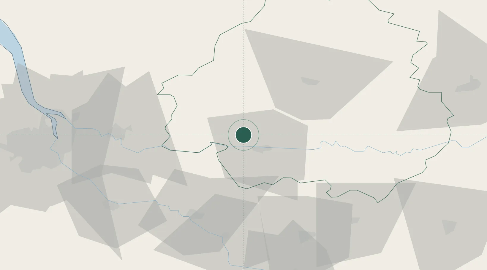
Hub Profile
Place type
Populated place
Region
Nouvelle-Aquitaine
Population
312
Time zone
Europe/Paris
Elevation
49 m
Location
Nearby Logistics Neighbours
Cities
- 1Minzac10 km
- 2Saint-Laurent-des-Vignes12 km
- 3Monfaucon12 km
- 4Saussignac12 km
- 5Le Fleix13 km
Airports
Trade Zones
- 1Port de Bordeaux74 km
- 2ZFU Hauts de Garonne78 km
- 3ZFU Toulouse168 km
- 4ZFU La Rochelle187 km
- 5ZFU Clermont-Ferrand231 km
DatabookThe Record of Consolidated Knowledge
France beyond logistics?