Transport Functions
Rail
Road
Hub Profile
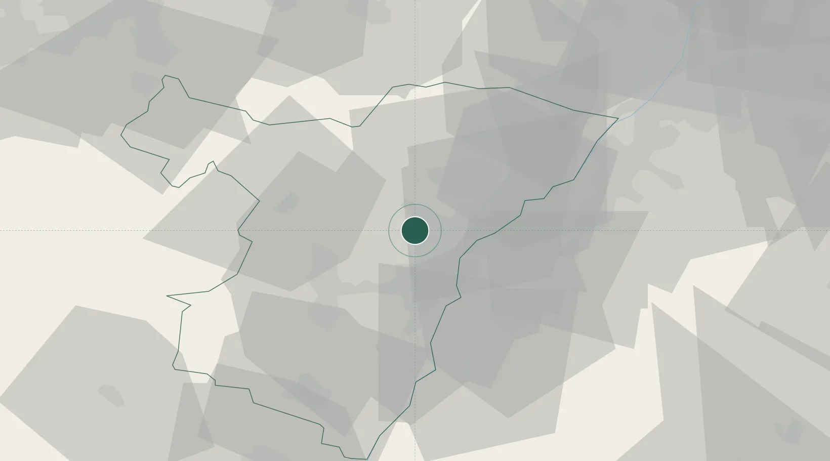
Place type
Populated place
Region
Grand Est
Population
1,337
Time zone
Europe/Paris
Elevation
150 m
Location
Nearby Logistics Neighbours
Cities
- 1Vendenheim2 km
- 2Geudertheim5 km
- 3Reichstett5 km
- 4Mundolsheim6 km
- 5Bischheim8 km
Airports
- 1Strasbourg Airport17 km
- 2Karlsruhe Baden-Baden Airport30 km
- 3Lahr Airport36 km
- 4Phalsbourg-Bourscheid Air Base38 km
- 5Colmar Houssen airport69 km
Trade Zones
- 1ZFU Hautepierre10 km
- 2ZFU Neuhof17 km
- 3ZFU La Cité Behren-lès-Forbach78 km
- 4ZFU Mulhouse107 km
- 5ZFU Maxéville, Laxou, et de Nancy113 km
DatabookThe Record of Consolidated Knowledge
France beyond logistics?