Transport Functions
Rail
Road
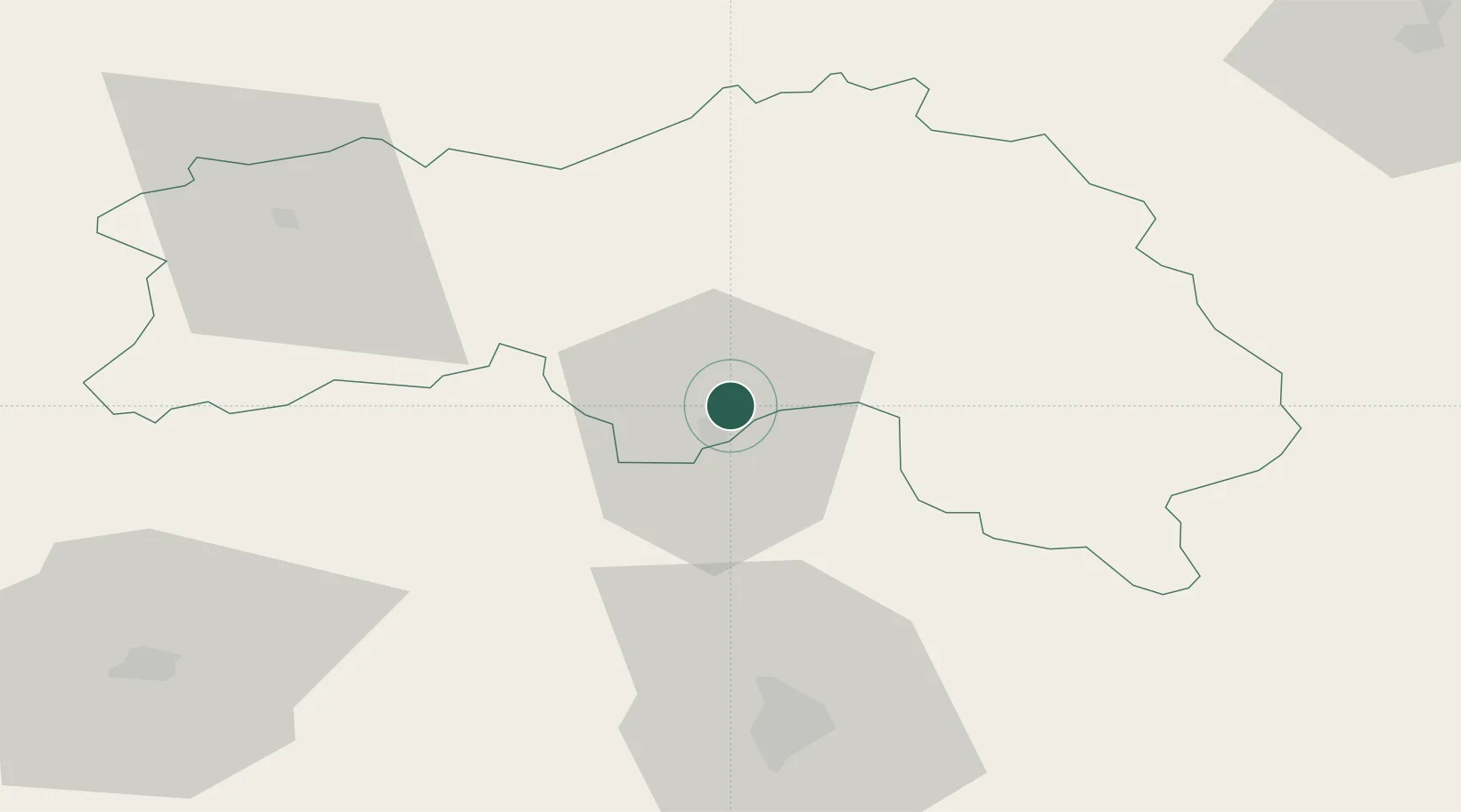
Hub Profile
Place type
Populated place
Region
Normandy
Population
1,551
Time zone
Europe/Paris
Elevation
146 m
Location
Nearby Logistics Neighbours
Cities
- 1Alençon4 km
- 2Lonrai6 km
- 3La Fresnaye-sur-Chédouet10 km
- 4Ravigny14 km
- 5Fyé15 km
Ports
- 1Port De Caen87 km
- 2Ouistreham95 km
- 3Deauville100 km
- 4Honfleur106 km
- 5Port Of Le Havre113 km
Airports
- 1Le Mans-Arnage Airport58 km
- 2Laval-Entrammes Airport80 km
- 3Caen Carpiquet airport89 km
- 4Deauville Normandie airport100 km
- 5Évreux-Fauville (BA 105) Air Base102 km
Trade Zones
- 1ZFU Alençon5 km
- 2ZFU Le Mans54 km
- 3ZFU La Guérinière, La Grâce de Dieu89 km
- 4ZFU Hérouville-Saint-Clair89 km
- 5ZFU Évreux98 km
DatabookThe Record of Consolidated Knowledge
France beyond logistics?