Transport Functions
Rail
Road
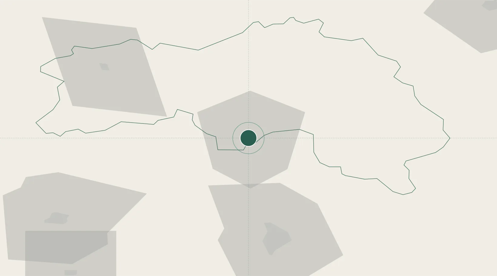
Hub Profile
Place type
Provincial seat
Region
Normandy
Population
30,786
Time zone
Europe/Paris
Elevation
147 m
Location
Nearby Logistics Neighbours
Cities
- 1Valframbert4 km
- 2Lonrai5 km
- 3Fyé11 km
- 4Ravigny11 km
- 5La Fresnaye-sur-Chédouet12 km
Ports
- 1Port De Caen89 km
- 2Ouistreham98 km
- 3Deauville104 km
- 4Honfleur110 km
- 5Port Of Le Havre117 km
Airports
- 1Le Mans-Arnage Airport55 km
- 2Laval-Entrammes Airport76 km
- 3Caen Carpiquet airport92 km
- 4Angers Marcé airport101 km
- 5Deauville Normandie airport104 km
Trade Zones
- 1ZFU Alençon0 km
- 2ZFU Le Mans50 km
- 3ZFU La Guérinière, La Grâce de Dieu91 km
- 4ZFU Hérouville-Saint-Clair91 km
- 5ZFU Dreux et Sainte-Gemme-Moronval102 km
DatabookThe Record of Consolidated Knowledge
France beyond logistics?