Transport Functions
Multimodal
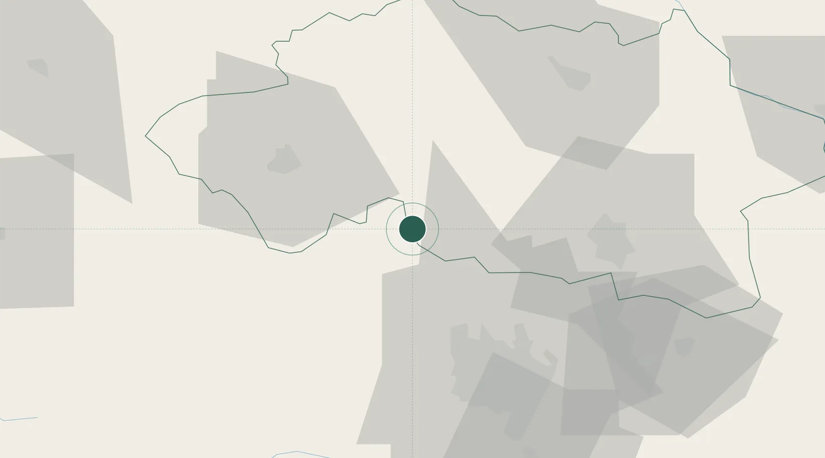
Hub Profile
Place type
Populated place
Region
Rhône-Alpes
Population
381
Time zone
Europe/Paris
Elevation
564 m
Location
Nearby Logistics Neighbours
Cities
- 1Cornassat14 km
- 2Saint-Bonnet-de-Rochefort16 km
- 3Malicorne17 km
- 4Commentry19 km
- 5Étroussat22 km
Ports
- 1Tonnay Charente297 km
- 2Ambes299 km
- 3Rochefort301 km
- 4Blaye303 km
- 5Pauillac306 km
Airports
- 1Vichy-Charmeil Airport36 km
- 2Montluçon-Guéret Airport44 km
- 3Clermont-Ferrand Auvergne airport48 km
- 4Roanne-Renaison Airport83 km
- 5Saint-Yan Airport87 km
Trade Zones
- 1ZFU Clermont-Ferrand46 km
- 2ZFU Bourges110 km
- 3ZFU Saint-Etienne135 km
- 4ZFU Lyon 9e152 km
- 5ZFU Rillieux-la-Pape154 km
DatabookThe Record of Consolidated Knowledge
France beyond logistics?