Transport Functions
Rail
Road
Hub Profile
Place type
Populated place
Region
Rhône-Alpes
Population
7,461
Time zone
Europe/Paris
Elevation
385 m
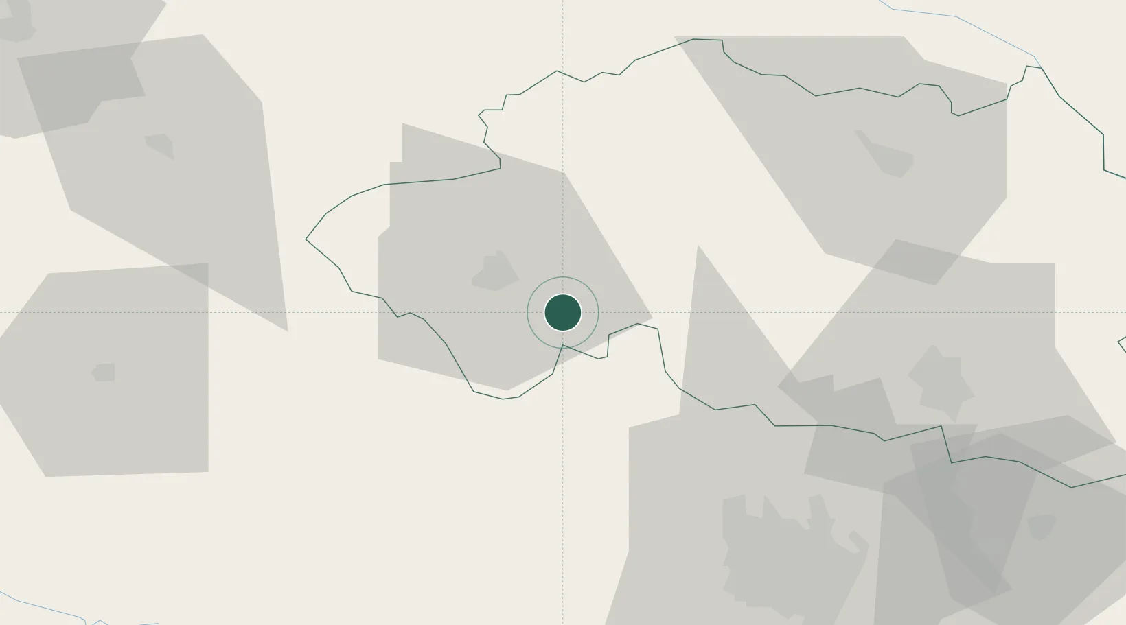
Location
Nearby Logistics Neighbours
Cities
- 1Malicorne4 km
- 2Montluçon12 km
- 3Villefranche-d'Allier17 km
- 4Domérat17 km
- 5Échassières19 km
Ports
- 1Tonnay Charente283 km
- 2Rochefort287 km
- 3Ambes290 km
- 4Blaye293 km
- 5Pauillac296 km
Airports
Trade Zones
- 1ZFU Clermont-Ferrand61 km
- 2ZFU Bourges94 km
- 3ZFU Saint-Etienne154 km
- 4ZFU Lyon 9e170 km
- 5ZFU Rillieux-la-Pape172 km
DatabookThe Record of Consolidated Knowledge
France beyond logistics?