Transport Functions
Multimodal
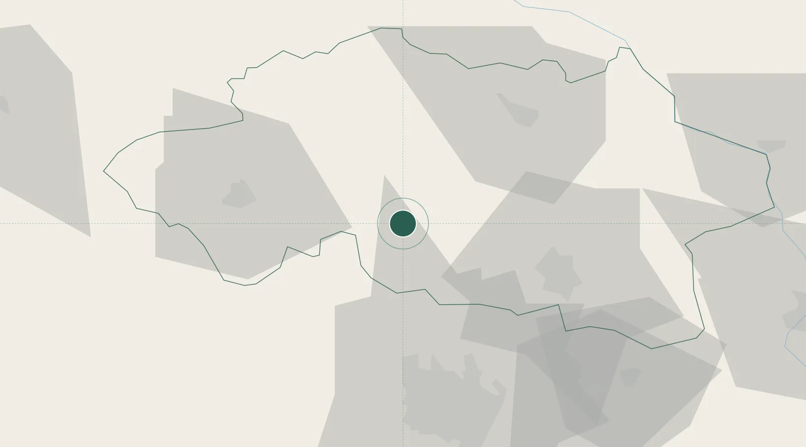
Hub Profile
Place type
Populated place
Region
Rhône-Alpes
Time zone
Europe/Paris
Elevation
420 m
Location
Nearby Logistics Neighbours
Cities
- 1Échassières14 km
- 2Cesset14 km
- 3Étroussat16 km
- 4Saint-Bonnet-de-Rochefort17 km
- 5Villefranche-d'Allier18 km
Ports
- 1Tonnay Charente306 km
- 2Rochefort310 km
- 3Ambes311 km
- 4Blaye314 km
- 5Pauillac317 km
Airports
- 1Vichy-Charmeil Airport31 km
- 2Montluçon-Guéret Airport52 km
- 3Clermont-Ferrand Auvergne airport56 km
- 4Saint-Yan Airport77 km
- 5Roanne-Renaison Airport79 km
Trade Zones
- 1ZFU Clermont-Ferrand55 km
- 2ZFU Bourges104 km
- 3ZFU Saint-Etienne137 km
- 4ZFU Lyon 9e148 km
- 5ZFU Rillieux-la-Pape150 km
DatabookThe Record of Consolidated Knowledge
France beyond logistics?