Transport Functions
Multimodal
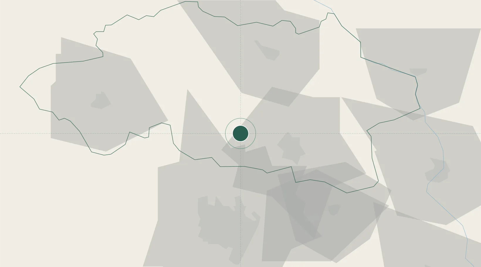
Hub Profile
Place type
Populated place
Region
Rhône-Alpes
Population
668
Time zone
Europe/Paris
Elevation
291 m
Location
Nearby Logistics Neighbours
Cities
- 1Orcet6 km
- 2Cesset9 km
- 3Saint-Bonnet-de-Rochefort10 km
- 4Saint-Pourçain-sur-Sioule11 km
- 5Gannat13 km
Ports
- 1Sete316 km
- 2Tonnay Charente319 km
- 3Ambes321 km
- 4Rochefort323 km
- 5Blaye325 km
Airports
- 1Vichy-Charmeil Airport15 km
- 2Clermont-Ferrand Auvergne airport48 km
- 3Roanne-Renaison Airport63 km
- 4Saint-Yan Airport65 km
- 5Montluçon-Guéret Airport66 km
Trade Zones
- 1ZFU Clermont-Ferrand49 km
- 2ZFU Bourges117 km
- 3ZFU Saint-Etienne122 km
- 4ZFU Lyon 9e132 km
- 5ZFU Rillieux-la-Pape134 km
DatabookThe Record of Consolidated Knowledge
France beyond logistics?