Transport Functions
Rail
Road
Hub Profile
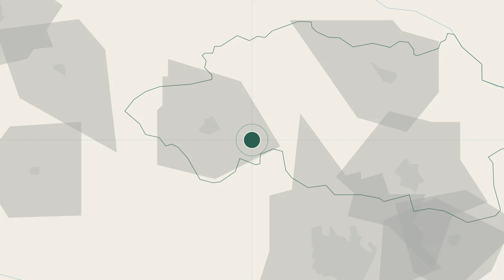
Place type
Populated place
Region
Rhône-Alpes
Population
824
Time zone
Europe/Paris
Elevation
398 m
Location
Nearby Logistics Neighbours
Cities
- 1Commentry4 km
- 2Villefranche-d'Allier13 km
- 3Montluçon15 km
- 4Échassières17 km
- 5Cornassat19 km
Ports
- 1Tonnay Charente287 km
- 2Rochefort291 km
- 3Ambes295 km
- 4Blaye298 km
- 5Pauillac300 km
Airports
Trade Zones
- 1ZFU Clermont-Ferrand61 km
- 2ZFU Bourges93 km
- 3ZFU Saint-Etienne152 km
- 4ZFU Lyon 9e167 km
- 5ZFU Rillieux-la-Pape169 km
DatabookThe Record of Consolidated Knowledge
France beyond logistics?