UN/LOCODE hub · France
FRSDF
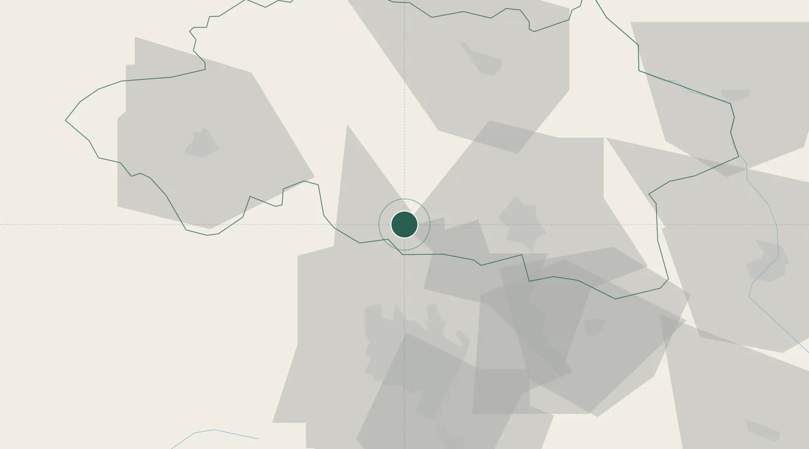
Saint-Bonnet-de-Rochefort
46.1500°, 3.1333°
666
Population
2
Transport functions
Transport Functions
Rail
Road
Hub Profile
Place type
Populated place
Region
Rhône-Alpes
Population
666
Time zone
Europe/Paris
Elevation
332 m
Location
Nearby Logistics Neighbours
Cities
- 1Gannat8 km
- 2Orcet9 km
- 3Étroussat10 km
- 4Échassières16 km
- 5Cornassat17 km
Ports
- 1Sete309 km
- 2Ambes312 km
- 3Tonnay Charente312 km
- 4Rochefort316 km
- 5Blaye316 km
Airports
- 1Vichy-Charmeil Airport21 km
- 2Clermont-Ferrand Auvergne airport41 km
- 3Montluçon-Guéret Airport60 km
- 4Roanne-Renaison Airport68 km
- 5Saint-Yan Airport74 km
Trade Zones
- 1ZFU Clermont-Ferrand41 km
- 2ZFU Bourges120 km
- 3ZFU Saint-Etienne121 km
- 4ZFU Lyon 9e136 km
- 5ZFU Rillieux-la-Pape138 km
DatabookThe Record of Consolidated Knowledge
France beyond logistics?