Transport Functions
Multimodal
Hub Profile
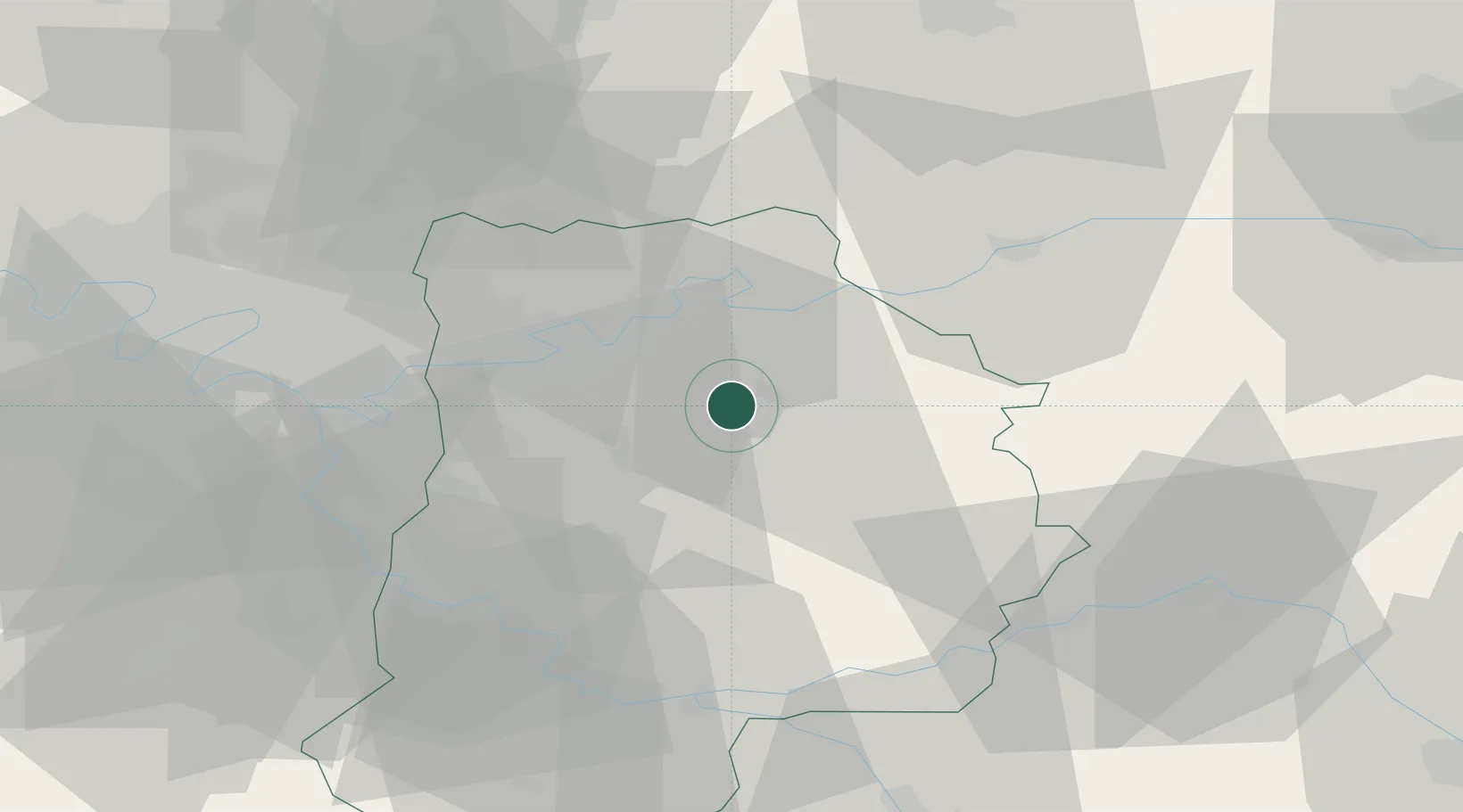
Place type
Populated place
Region
Île-de-France
Population
2,739
Time zone
Europe/Paris
Elevation
70 m
Location
Nearby Logistics Neighbours
Cities
- 1Maisoncelles-en-Brie6 km
- 2Chailly-en-Brie8 km
- 3La Chapelle-sur-Crécy8 km
- 4Crèvecur-en-Brie11 km
- 5Fublaines14 km
Ports
- 1Port Of Rouen158 km
- 2Saint-Valery-Sur-Somme183 km
- 3Le Treport183 km
- 4Dieppe187 km
- 5Honfleur214 km
Airports
Trade Zones
DatabookThe Record of Consolidated Knowledge
France beyond logistics?