UN/LOCODE hub · France
FRCP4

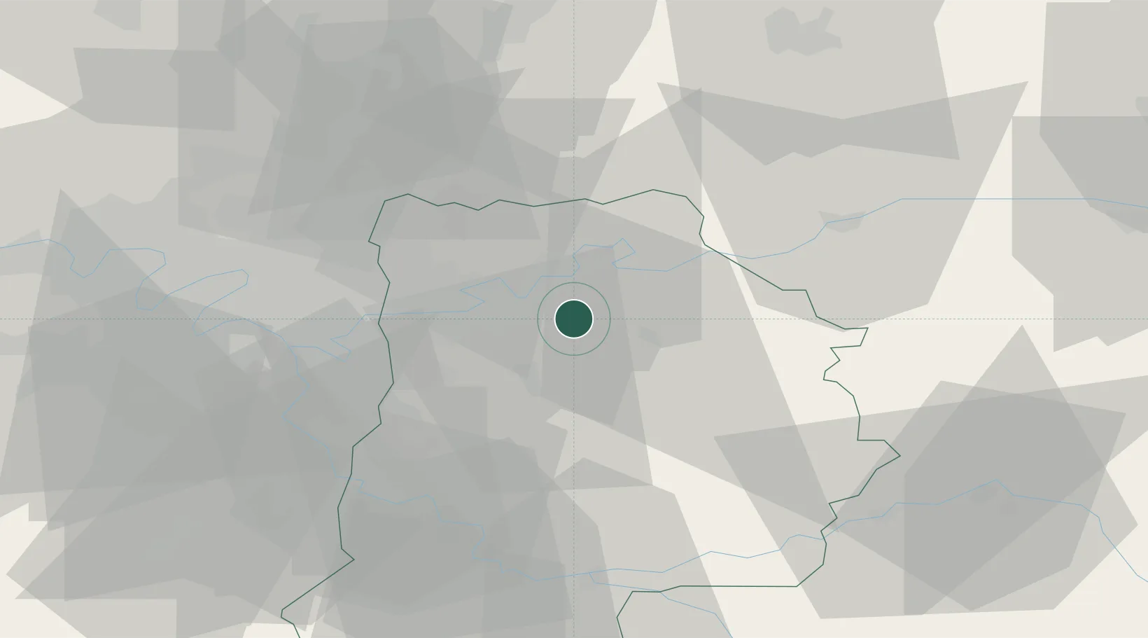
La Chapelle-sur-Crécy

48.8667°, 2.9333°
4,249
Population
2
Transport functions

Transport Functions

Road
Multimodal
UN/LOCODE

Hub Profile

Place type
Populated place
GeoNames
Region
Île-de-France
GeoNames
Population
4,249
GeoNames
Time zone
Europe/Paris
GeoNames
Elevation
62 m
GeoNames

Location

Location of FRCP4
Natural Earth 10m (public domain) · Île-de-France · FRCP4 · 48.87, 2.93GoogleOSMYandex

Nearby Logistics Neighbours

Cities
  1. 1Maisoncelles-en-Brie5 km
  2. 2Fublaines7 km
  3. 3Pommeuse8 km
  4. 4Trilport9 km
  5. 5Esbly9 km
Nearest neighbours — logibook spatial index (haversine) over the source coordinates
Ports
  1. 1Port Of Rouen150 km
  2. 2Saint-Valery-Sur-Somme175 km
  3. 3Le Treport175 km
  4. 4Dieppe179 km
  5. 5Honfleur207 km
Nearest neighbours — logibook spatial index (haversine) over the source coordinates
Airports
  1. 1Charles de Gaulle International Airport32 km
  2. 2Melun-Villaroche Airfield35 km
  3. 3Paris-Le Bourget International Airport38 km
  4. 4Paris-Orly Airport44 km
  5. 5Creil Air Base53 km
Nearest neighbours — logibook spatial index (haversine) over the source coordinates
Trade Zones
  1. 1ZFU Meaux11 km
  2. 2ZFU Clichy-sous-Bois et Montfermeil28 km
  3. 3ZFU Neuilly-sur-Marne30 km
  4. 4ZFU Champigny-sur-Marne et Chennevières-sur-Marne30 km
  5. 5ZFU Sevran31 km
Nearest neighbours — logibook spatial index (haversine) over the source coordinates
DatabookThe Record of Consolidated Knowledge
France beyond logistics?
Browse databook

All Sources

LocationsUN/LOCODE
UN/LOCODE — free
LocationsGeoNames
CC BY 4.0
Portsthe NGA World Port Index
Public domain (US gov)
AirportsOurAirports
Public domain
Trade Zonesthe World Bank SEZ database
CC BY 4.0
Trade ZonesOpen Zone Map
CC BY
← France locations