UN/LOCODE hub · France
FRZFF

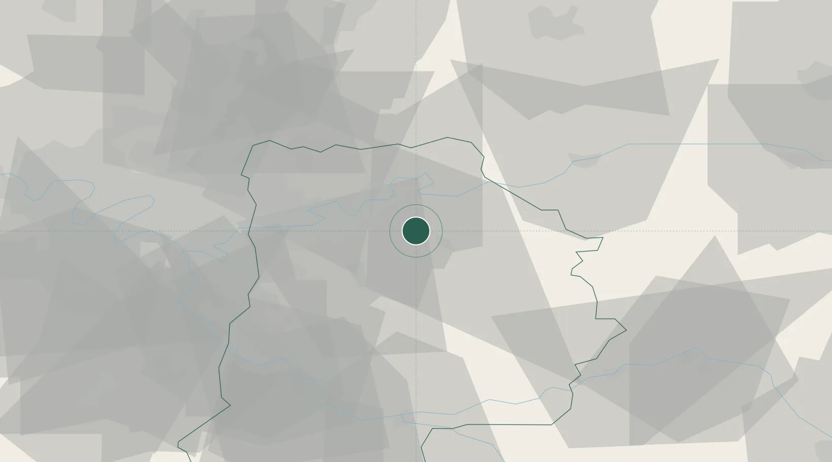
Maisoncelles-en-Brie

48.8667°, 3.0000°
749
Population
1
Transport functions

Transport Functions

Multimodal
UN/LOCODE

Hub Profile

Place type
Populated place
GeoNames
Region
Île-de-France
GeoNames
Population
749
GeoNames
Time zone
Europe/Paris
GeoNames
Elevation
147 m
GeoNames

Location

Location of FRZFF
Natural Earth 10m (public domain) · Île-de-France · FRZFF · 48.87, 3.00GoogleOSMYandex

Nearby Logistics Neighbours

Cities
  1. 1La Chapelle-sur-Crécy5 km
  2. 2Pommeuse6 km
  3. 3Fublaines9 km
  4. 4Trilport11 km
  5. 5Jouarre12 km
Nearest neighbours — logibook spatial index (haversine) over the source coordinates
Ports
  1. 1Port Of Rouen155 km
  2. 2Saint-Valery-Sur-Somme177 km
  3. 3Le Treport178 km
  4. 4Dieppe183 km
  5. 5Honfleur212 km
Nearest neighbours — logibook spatial index (haversine) over the source coordinates
Airports
  1. 1Charles de Gaulle International Airport36 km
  2. 2Melun-Villaroche Airfield38 km
  3. 3Paris-Le Bourget International Airport43 km
  4. 4Paris-Orly Airport48 km
  5. 5Creil Air Base56 km
Nearest neighbours — logibook spatial index (haversine) over the source coordinates
Trade Zones
  1. 1ZFU Meaux13 km
  2. 2ZFU Clichy-sous-Bois et Montfermeil33 km
  3. 3ZFU Neuilly-sur-Marne35 km
  4. 4ZFU Champigny-sur-Marne et Chennevières-sur-Marne35 km
  5. 5ZFU Sevran36 km
Nearest neighbours — logibook spatial index (haversine) over the source coordinates
DatabookThe Record of Consolidated Knowledge
France beyond logistics?
Browse databook

All Sources

LocationsUN/LOCODE
UN/LOCODE — free
LocationsGeoNames
CC BY 4.0
Portsthe NGA World Port Index
Public domain (US gov)
AirportsOurAirports
Public domain
Trade Zonesthe World Bank SEZ database
CC BY 4.0
Trade ZonesOpen Zone Map
CC BY
← France locations