Transport Functions
Road
Multimodal
Hub Profile
Place type
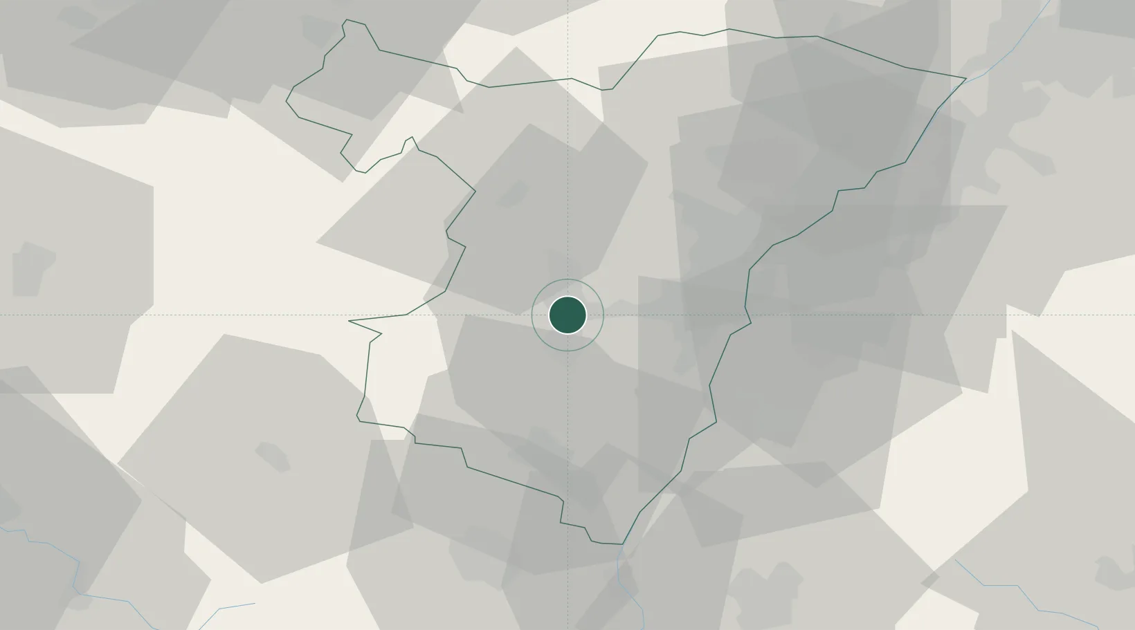
Populated place
Region
Grand Est
Population
2,291
Time zone
Europe/Paris
Elevation
183 m
Location
Nearby Logistics Neighbours
Cities
- 1Molsheim2 km
- 2Rosheim4 km
- 3Rosenwiller4 km
- 4Bergbieten6 km
- 5Dahlenheim6 km
Airports
- 1Strasbourg Airport11 km
- 2Lahr Airport31 km
- 3Phalsbourg-Bourscheid Air Base33 km
- 4Colmar Houssen airport48 km
- 5Karlsruhe Baden-Baden Airport52 km
Trade Zones
- 1ZFU Hautepierre17 km
- 2ZFU Neuhof21 km
- 3ZFU La Cité Behren-lès-Forbach81 km
- 4ZFU Mulhouse88 km
- 5ZFU Maxéville, Laxou, et de Nancy99 km
DatabookThe Record of Consolidated Knowledge
France beyond logistics?