Transport Functions
Multimodal
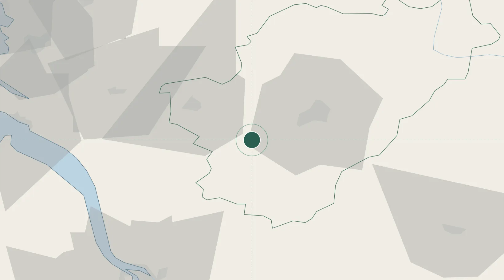
Hub Profile
Place type
Populated place
Region
Nouvelle-Aquitaine
Time zone
Europe/Paris
Elevation
77 m
Location
Nearby Logistics Neighbours
Cities
- 1Bouteville7 km
- 2Lignières-Sonneville8 km
- 3Mainfonds9 km
- 4Angeac-Charente9 km
- 5Ambleville10 km
Ports
- 1Blaye65 km
- 2Pauillac65 km
- 3Ambes69 km
- 4Le Verdon75 km
- 5Tonnay Charente76 km
Airports
Trade Zones
- 1Port de Bordeaux80 km
- 2ZFU Hauts de Garonne89 km
- 3ZFU La Rochelle111 km
- 4ZFU Angers218 km
- 5ZFU Nantes et Saint-Herblain224 km
DatabookThe Record of Consolidated Knowledge
France beyond logistics?