Transport Functions
Multimodal
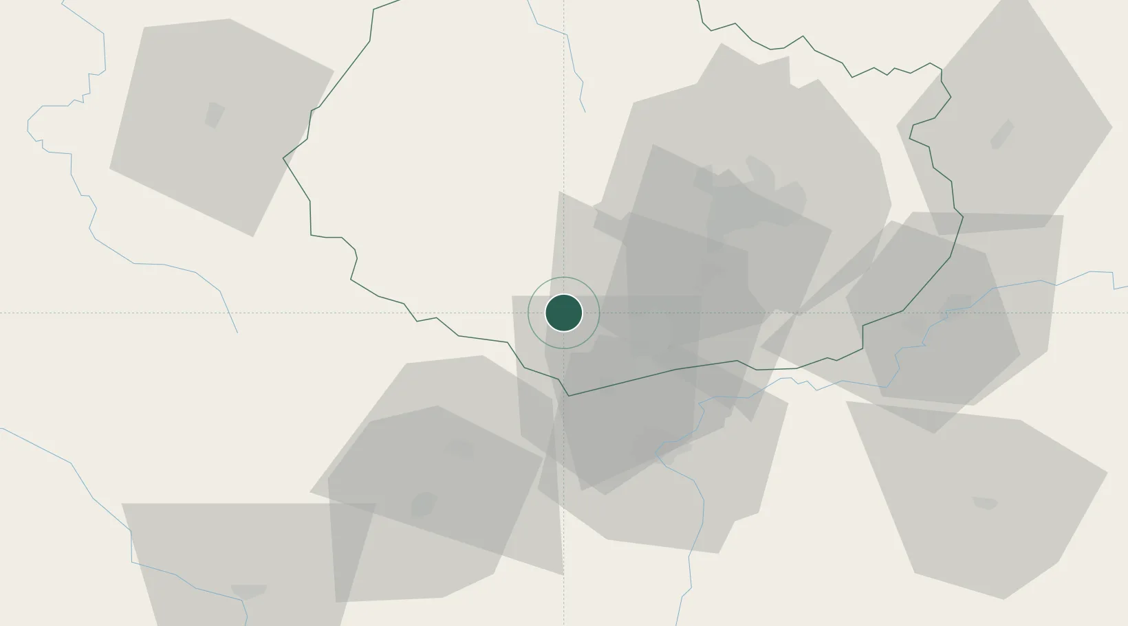
Hub Profile
Place type
Populated place
Region
Bourgogne
Population
77
Time zone
Europe/Paris
Elevation
372 m
Location
Nearby Logistics Neighbours
Cities
- 1Écutigny4 km
- 2Ivry-en-Montagne6 km
- 3Mavilly-Mandelot6 km
- 4Meloisey8 km
- 5Nantoux8 km
Ports
- 1Port Of Rouen374 km
- 2Fos408 km
- 3Port-de-Bouc410 km
- 4Le Treport411 km
- 5Saint-Valery-Sur-Somme411 km
Airports
- 1Dijon Longvic airport38 km
- 2Dole Tavaux Airport58 km
- 3Mâcon-Charnay Airfield88 km
- 4Saint-Yan Airport90 km
- 5Nevers-Fourchambault Airport118 km
Trade Zones
DatabookThe Record of Consolidated Knowledge
France beyond logistics?