Transport Functions
Multimodal
Hub Profile
Place type
Populated place
Region
Occitanie
Population
2,888
Time zone
Europe/Paris
Elevation
33 m
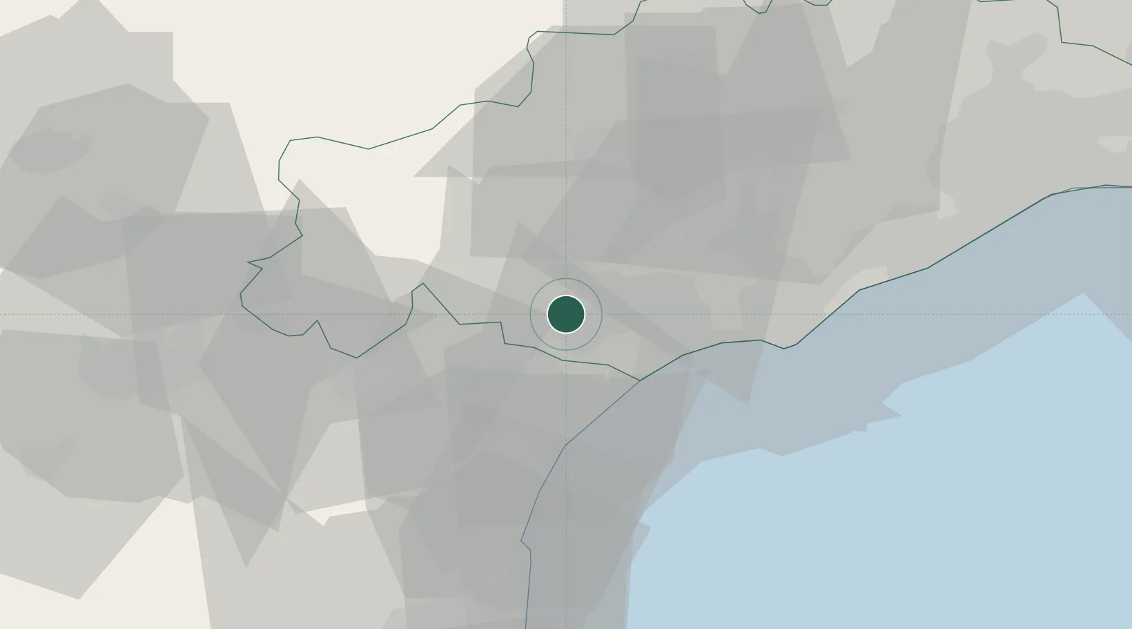
Location
Nearby Logistics Neighbours
Cities
- 1Maureilhan-et-Raméjan2 km
- 2Colombiers2 km
- 3Poilhes3 km
- 4Nissan-lez-Enserune6 km
- 5Puisserguier8 km
Ports
- 1Port-La-Nouvelle35 km
- 2Sete48 km
- 3Port-Vendres91 km
- 4Rosas119 km
- 5Port Saint Louis Du Rhone138 km
Airports
Trade Zones
- 1ZFU Béziers8 km
- 2ZFU Montpellier66 km
- 3ZFU Perpignan73 km
- 4ZFU Nîmes113 km
- 5ZFU Toulouse139 km
DatabookThe Record of Consolidated Knowledge
France beyond logistics?