Transport Functions
Multimodal
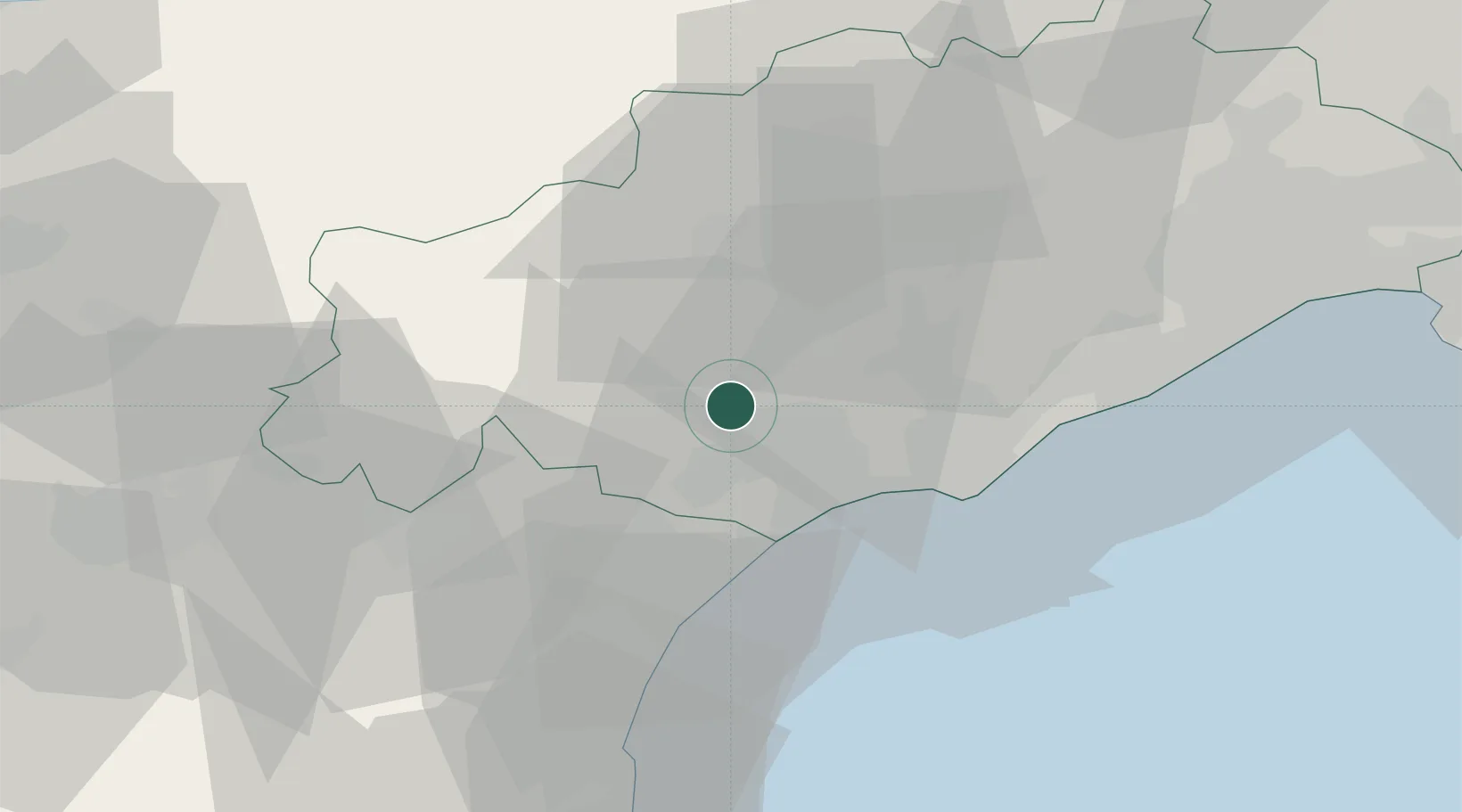
Hub Profile
Place type
Populated place
Region
Occitanie
Population
1,747
Time zone
Europe/Paris
Elevation
97 m
Location
Nearby Logistics Neighbours
Cities
- 1Puimisson4 km
- 2Puissalicon4 km
- 3Murviel6 km
- 4Béziers6 km
- 5Maureilhan-et-Raméjan8 km
Ports
- 1Sete42 km
- 2Port-La-Nouvelle44 km
- 3Port-Vendres98 km
- 4Rosas126 km
- 5Port Saint Louis Du Rhone132 km
Airports
Trade Zones
- 1ZFU Béziers8 km
- 2ZFU Montpellier58 km
- 3ZFU Perpignan81 km
- 4ZFU Nîmes105 km
- 5ZFU Toulouse142 km
DatabookThe Record of Consolidated Knowledge
France beyond logistics?