Transport Functions
Port
Multimodal
Hub Profile
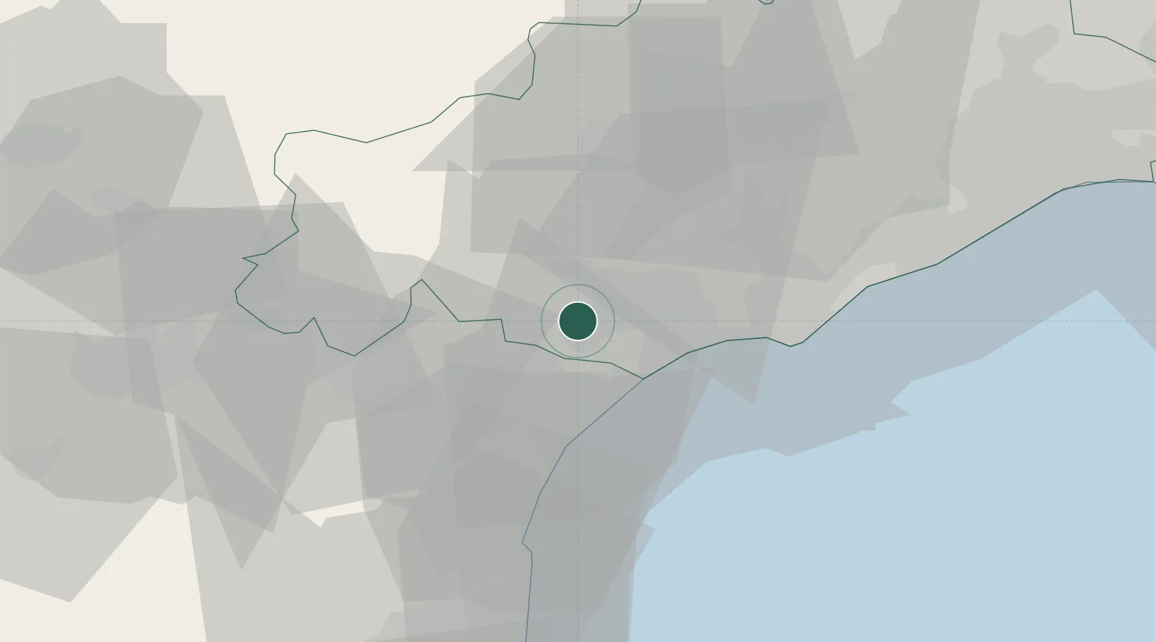
Place type
Populated place
Region
Occitanie
Population
2,348
Time zone
Europe/Paris
Elevation
47 m
Location
Nearby Logistics Neighbours
Cities
- 1Montady2 km
- 2Nissan-lez-Enserune4 km
- 3Maureilhan-et-Raméjan4 km
- 4Poilhes4 km
- 5Lespignan6 km
Ports
- 1Port-La-Nouvelle34 km
- 2Sete47 km
- 3Port-Vendres89 km
- 4Rosas117 km
- 5Port Saint Louis Du Rhone136 km
Airports
Trade Zones
- 1ZFU Béziers7 km
- 2ZFU Montpellier66 km
- 3ZFU Perpignan71 km
- 4ZFU Nîmes113 km
- 5ZFU Toulouse140 km
DatabookThe Record of Consolidated Knowledge
France beyond logistics?