Transport Functions
Rail
Road
Multimodal
Hub Profile
Region
34
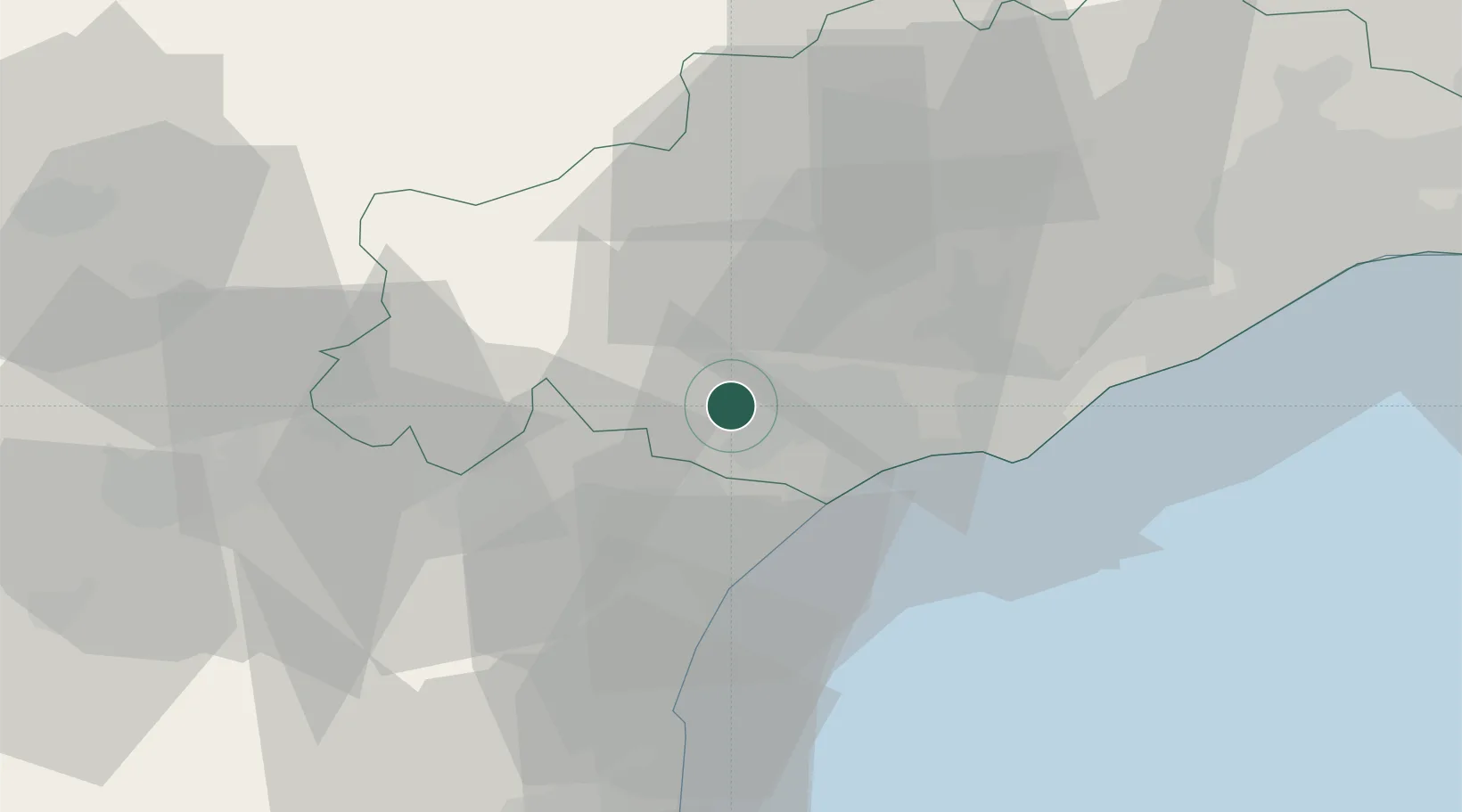
Location
Nearby Logistics Neighbours
Cities
- 1Montady2 km
- 2Colombiers4 km
- 3Poilhes5 km
- 4Puisserguier7 km
- 5Nissan-lez-Enserune8 km
Ports
- 1Port-La-Nouvelle37 km
- 2Sete48 km
- 3Port-Vendres93 km
- 4Rosas121 km
- 5Port Saint Louis Du Rhone138 km
Airports
Trade Zones
- 1ZFU Béziers8 km
- 2ZFU Montpellier65 km
- 3ZFU Perpignan75 km
- 4ZFU Nîmes112 km
- 5ZFU Toulouse138 km
DatabookThe Record of Consolidated Knowledge
France beyond logistics?