UN/LOCODE hub · France
FRBMV
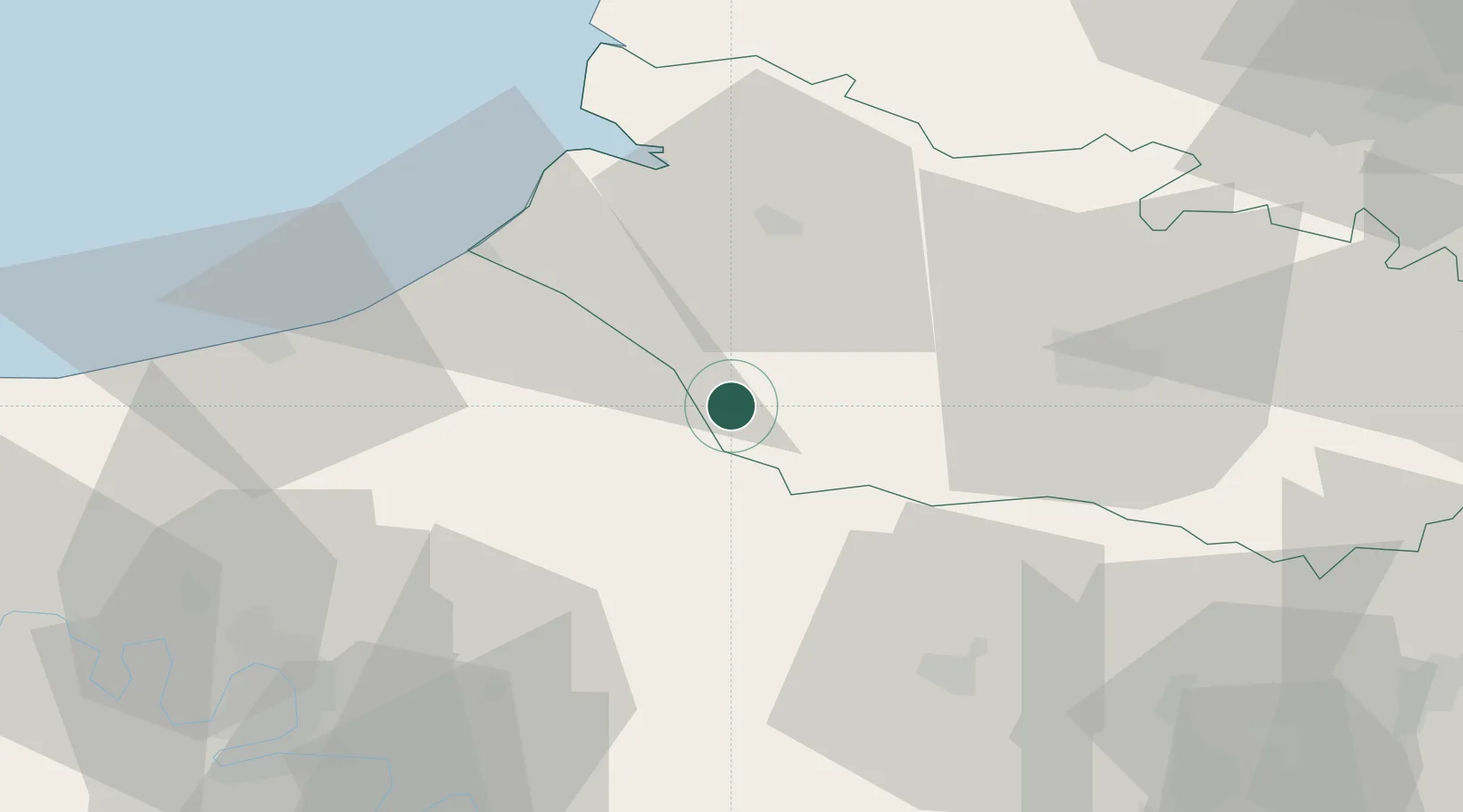
Beaucamps-le-Vieux
49.8333°, 1.7667°
1,411
Population
2
Transport functions
Transport Functions
Road
Multimodal
Hub Profile
Place type
Populated place
Region
Hauts-de-France
Population
1,411
Time zone
Europe/Paris
Elevation
186 m
Location
Nearby Logistics Neighbours
Cities
- 1Vieux-Rouen-sur-Bresle4 km
- 2Aumale8 km
- 3Pierrecourt10 km
- 4Caulières11 km
- 5Foucarmont15 km
Ports
- 1Le Treport39 km
- 2Saint-Valery-Sur-Somme40 km
- 3Dieppe50 km
- 4Port Of Rouen66 km
- 5Fecamp101 km
Airports
Trade Zones
- 1ZFU Amiens26 km
- 2ZFU Beauvais48 km
- 3ZFU Rouen Bihorel64 km
- 4ZFU Creil et Montataire79 km
- 5ZFU Mantes-la-Jolie94 km
DatabookThe Record of Consolidated Knowledge
France beyond logistics?