Transport Functions
Rail
Road
Multimodal
Hub Profile
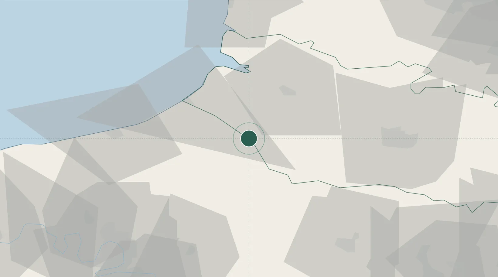
Place type
Populated place
Region
Normandy
Time zone
Europe/Paris
Elevation
78 m
Location
Nearby Logistics Neighbours
Cities
- 1Vieux-Rouen-sur-Bresle8 km
- 2Foucarmont9 km
- 3Beaucamps-le-Vieux10 km
- 4Callengeville16 km
- 5Aumale16 km
Ports
- 1Le Treport28 km
- 2Saint-Valery-Sur-Somme32 km
- 3Dieppe42 km
- 4Port Of Rouen66 km
- 5Boulogne-Sur-Mer93 km
Airports
Trade Zones
- 1ZFU Amiens33 km
- 2ZFU Beauvais58 km
- 3ZFU Rouen Bihorel64 km
- 4ZFU Creil et Montataire89 km
- 5ZFU Mantes-la-Jolie101 km
DatabookThe Record of Consolidated Knowledge
France beyond logistics?