Transport Functions
Multimodal
Hub Profile
Place type
Populated place
Region
Occitanie
Population
426
Time zone
Europe/Paris
Elevation
42 m
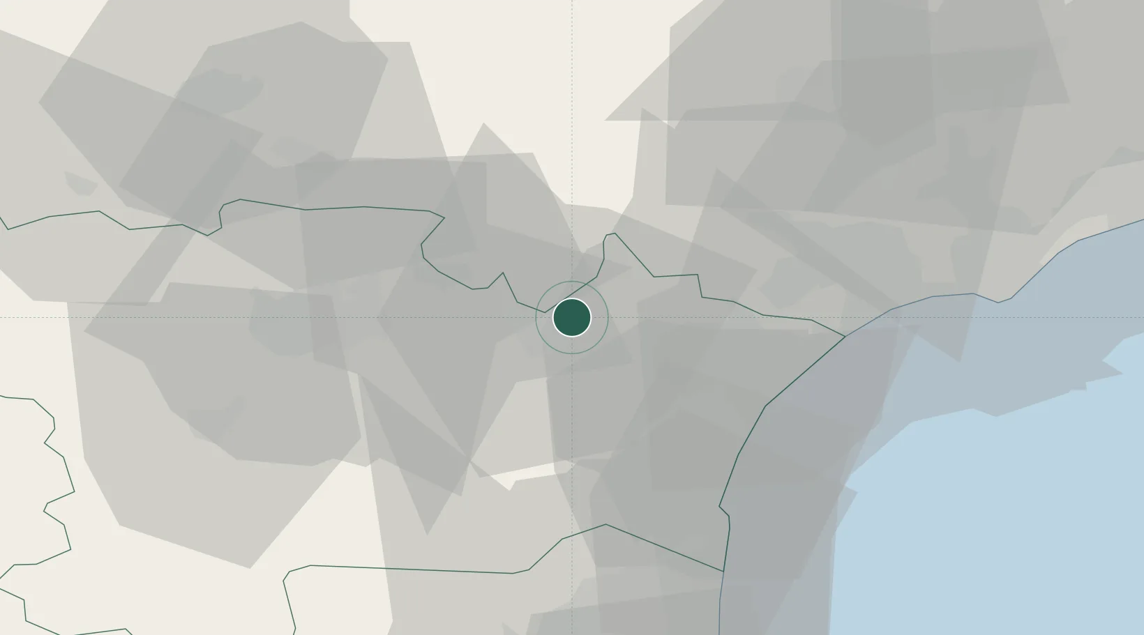
Location
Nearby Logistics Neighbours
Cities
- 1Paraza3 km
- 2Argens-Minervois5 km
- 3Canet5 km
- 4Pouzols-Minervois5 km
- 5Tourouzelle5 km
Ports
- 1Port-La-Nouvelle34 km
- 2Sete75 km
- 3Port-Vendres86 km
- 4Rosas114 km
- 5Palamos160 km
Airports
Trade Zones
- 1ZFU Béziers35 km
- 2ZFU Perpignan62 km
- 3ZFU Montpellier93 km
- 4ZFU Toulouse117 km
- 5ZFU Nîmes140 km
DatabookThe Record of Consolidated Knowledge
France beyond logistics?