UN/LOCODE hub · France
FRCC3

Conilhac-Corbières

43.1833°, 2.7167°
646
Population
1
Transport functions

Transport Functions

Multimodal
UN/LOCODE

Hub Profile

Place type
Populated place
GeoNames
Region
Occitanie
GeoNames
Population
646
GeoNames
Time zone
Europe/Paris
GeoNames
Elevation
84 m
GeoNames

Location

Location of FRCC3
Natural Earth 10m (public domain) · Occitanie · FRCC3 · 43.18, 2.72GoogleOSMYandex

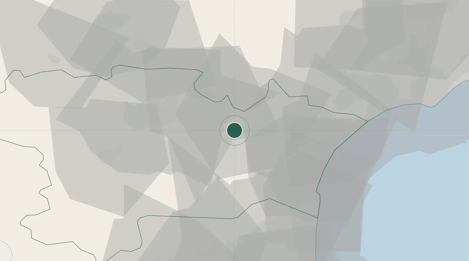
Nearby Logistics Neighbours

Cities
  1. 1Fontcouverte2 km
  2. 2Montbrun-des-Corbières3 km
  3. 3Ferrals-les-Corbières4 km
  4. 4Luc-sur-Orbieu5 km
  5. 5Moux5 km
Nearest neighbours — logibook spatial index (haversine) over the source coordinates
Ports
  1. 1Port-La-Nouvelle34 km
  2. 2Port-Vendres81 km
  3. 3Sete83 km
  4. 4Rosas109 km
  5. 5Palamos154 km
Nearest neighbours — logibook spatial index (haversine) over the source coordinates
Airports
  1. 1Carcassonne Salvaza Airport34 km
  2. 2Perpignan-Rivesaltes (Llabanère) Airport51 km
  3. 3Béziers Vias airport54 km
  4. 4Castres Mazamet Airport54 km
  5. 5Albi Le Sequestre airport95 km
Nearest neighbours — logibook spatial index (haversine) over the source coordinates
Trade Zones
  1. 1ZFU Béziers44 km
  2. 2ZFU Perpignan56 km
  3. 3ZFU Montpellier103 km
  4. 4ZFU Toulouse113 km
  5. 5ZFU Nîmes149 km
Nearest neighbours — logibook spatial index (haversine) over the source coordinates
DatabookThe Record of Consolidated Knowledge
France beyond logistics?
Browse databook

All Sources

LocationsUN/LOCODE
UN/LOCODE — free
LocationsGeoNames
CC BY 4.0
Portsthe NGA World Port Index
Public domain (US gov)
AirportsOurAirports
Public domain
Trade Zonesthe World Bank SEZ database
CC BY 4.0
Trade ZonesOpen Zone Map
CC BY
← France locations