Transport Functions
Road
Multimodal
Hub Profile
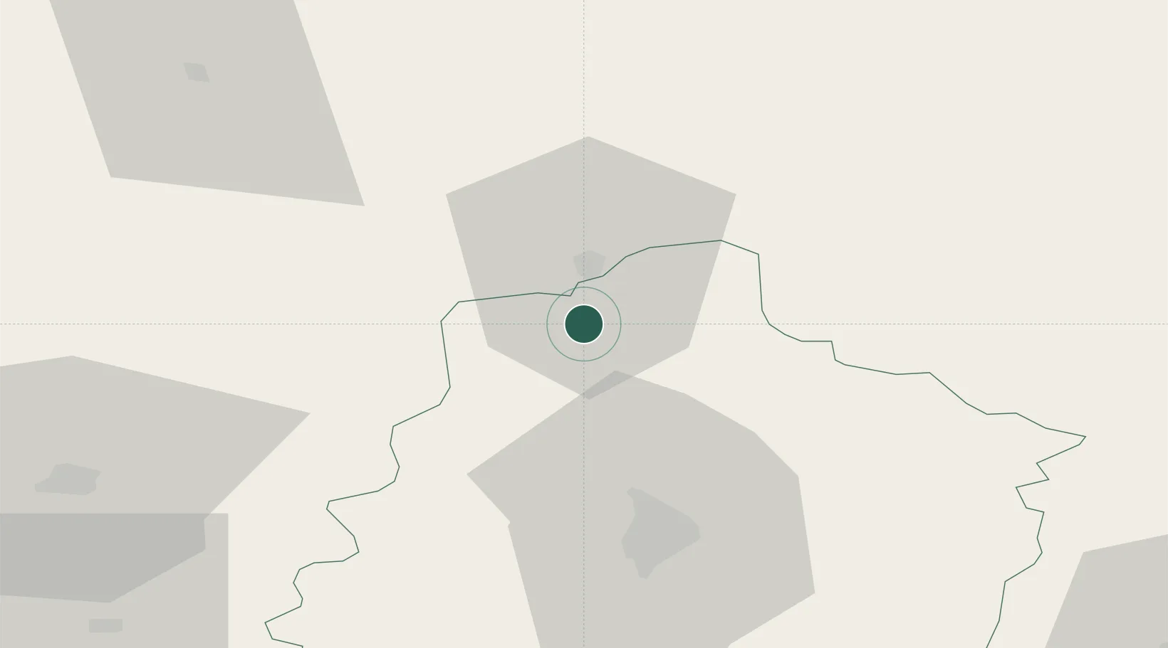
Place type
Populated place
Region
Pays de la Loire
Population
986
Time zone
Europe/Paris
Elevation
102 m
Location
Nearby Logistics Neighbours
Cities
- 1Alençon11 km
- 2Valframbert15 km
- 3Lonrai15 km
- 4Troarn16 km
- 5Ravigny17 km
Ports
- 1Port De Caen100 km
- 2Ouistreham108 km
- 3Deauville115 km
- 4Honfleur121 km
- 5Port Of Le Havre128 km
Airports
- 1Le Mans-Arnage Airport44 km
- 2Laval-Entrammes Airport70 km
- 3Angers Marcé airport91 km
- 4Châteaudun Airfield101 km
- 5Caen Carpiquet airport102 km
Trade Zones
- 1ZFU Alençon11 km
- 2ZFU Le Mans39 km
- 3ZFU La Guérinière, La Grâce de Dieu101 km
- 4ZFU Hérouville-Saint-Clair102 km
- 5ZFU Dreux et Sainte-Gemme-Moronval106 km
DatabookThe Record of Consolidated Knowledge
France beyond logistics?