Transport Functions
Port
Rail
Airport
Hub Profile
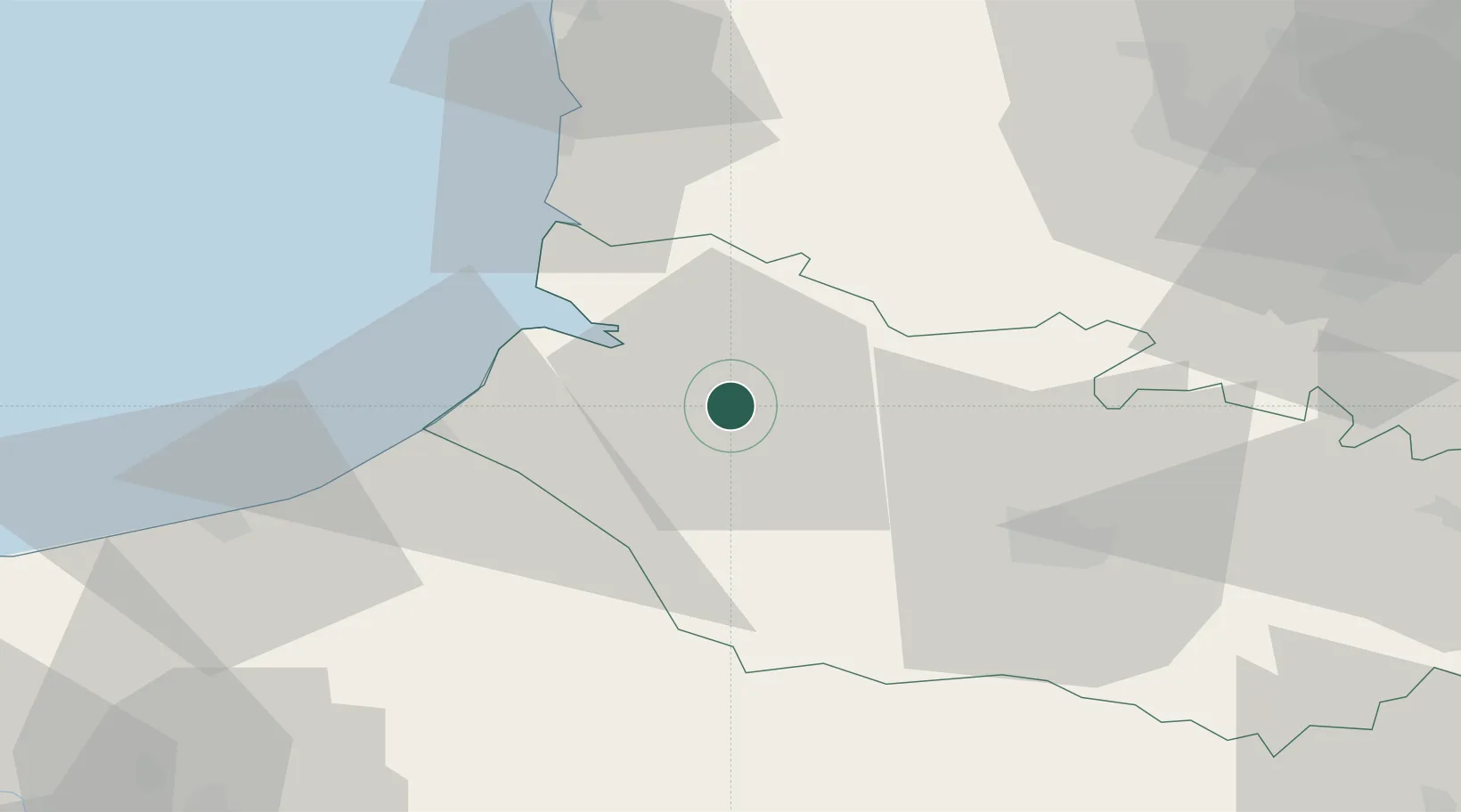
Place type
District seat
Region
Hauts-de-France
Population
26,461
Time zone
Europe/Paris
Elevation
10 m
Location
Nearby Logistics Neighbours
Cities
- 1Épagne-Épagnette4 km
- 2Noyelles13 km
- 3Longpré-les-Corps-Saints14 km
- 4Condé-Folie16 km
- 5Saint-Valery-sur-Somme17 km
Ports
- 1Saint-Valery-Sur-Somme18 km
- 2Le Treport34 km
- 3Dieppe57 km
- 4Boulogne-Sur-Mer72 km
- 5Port Of Rouen91 km
Airports
Trade Zones
DatabookThe Record of Consolidated Knowledge
France beyond logistics?