UN/LOCODE hub · France
FRLSP

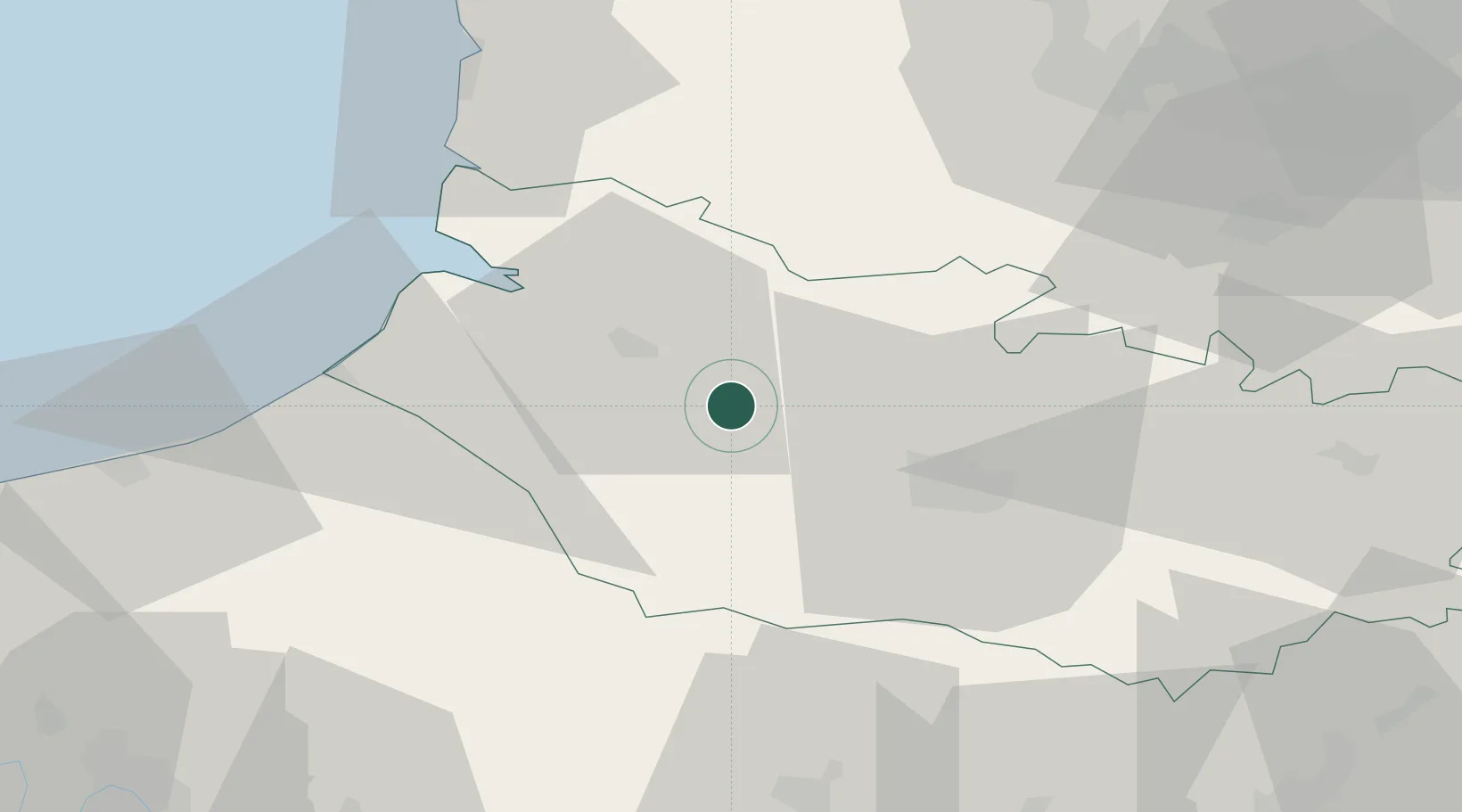
Longpré-les-Corps-Saints

50.0167°, 1.9833°
1,591
Population
2
Transport functions

Transport Functions

Rail
Road
UN/LOCODE

Hub Profile

Place type
Populated place
GeoNames
Region
Hauts-de-France
GeoNames
Population
1,591
GeoNames
Time zone
Europe/Paris
GeoNames
Elevation
14 m
GeoNames

Location

Location of FRLSP
Natural Earth 10m (public domain) · Hauts-de-France · FRLSP · 50.02, 1.98GoogleOSMYandex

Nearby Logistics Neighbours

Cities
  1. 1Condé-Folie2 km
  2. 2Épagne-Épagnette10 km
  3. 3Fransu12 km
  4. 4Abbeville14 km
  5. 5Ailly-sur-Somme19 km
Nearest neighbours — logibook spatial index (haversine) over the source coordinates
Ports
  1. 1Saint-Valery-Sur-Somme32 km
  2. 2Le Treport44 km
  3. 3Dieppe65 km
  4. 4Boulogne-Sur-Mer84 km
  5. 5Port Of Rouen91 km
Nearest neighbours — logibook spatial index (haversine) over the source coordinates
Airports
  1. 1Abbeville-Buigny Baie de Somme Airfield18 km
  2. 2Amiens Glisy Airfield33 km
  3. 3Le Touquet-Côte d'Opale Airport61 km
  4. 4Beauvais-Tillé airport63 km
  5. 5Péronne Saint-Quentin Airfield77 km
Nearest neighbours — logibook spatial index (haversine) over the source coordinates
Trade Zones
  1. 1ZFU Amiens18 km
  2. 2ZFU Beauvais64 km
  3. 3ZFU Hénin-Beaumont, Montigny-en-Gohelle, Courrières, Rouvroy, Drocourt, Dourges78 km
  4. 4ZFU Rouen Bihorel89 km
  5. 5ZFU Creil et Montataire89 km
Nearest neighbours — logibook spatial index (haversine) over the source coordinates
DatabookThe Record of Consolidated Knowledge
France beyond logistics?
Browse databook

All Sources

LocationsUN/LOCODE
UN/LOCODE — free
LocationsGeoNames
CC BY 4.0
Portsthe NGA World Port Index
Public domain (US gov)
AirportsOurAirports
Public domain
Trade Zonesthe World Bank SEZ database
CC BY 4.0
Trade ZonesOpen Zone Map
CC BY
← France locations