UN/LOCODE hub · Finland
FIYRA

Ylihärmä

63.1333°, 22.7667°
2
Transport functions

Transport Functions

Rail
Road
UN/LOCODE

Hub Profile

Region
03
GeoNames

Location

Location of FIYRA
Natural Earth 10m (public domain) · 03 · FIYRA · 63.13, 22.77GoogleOSMYandex

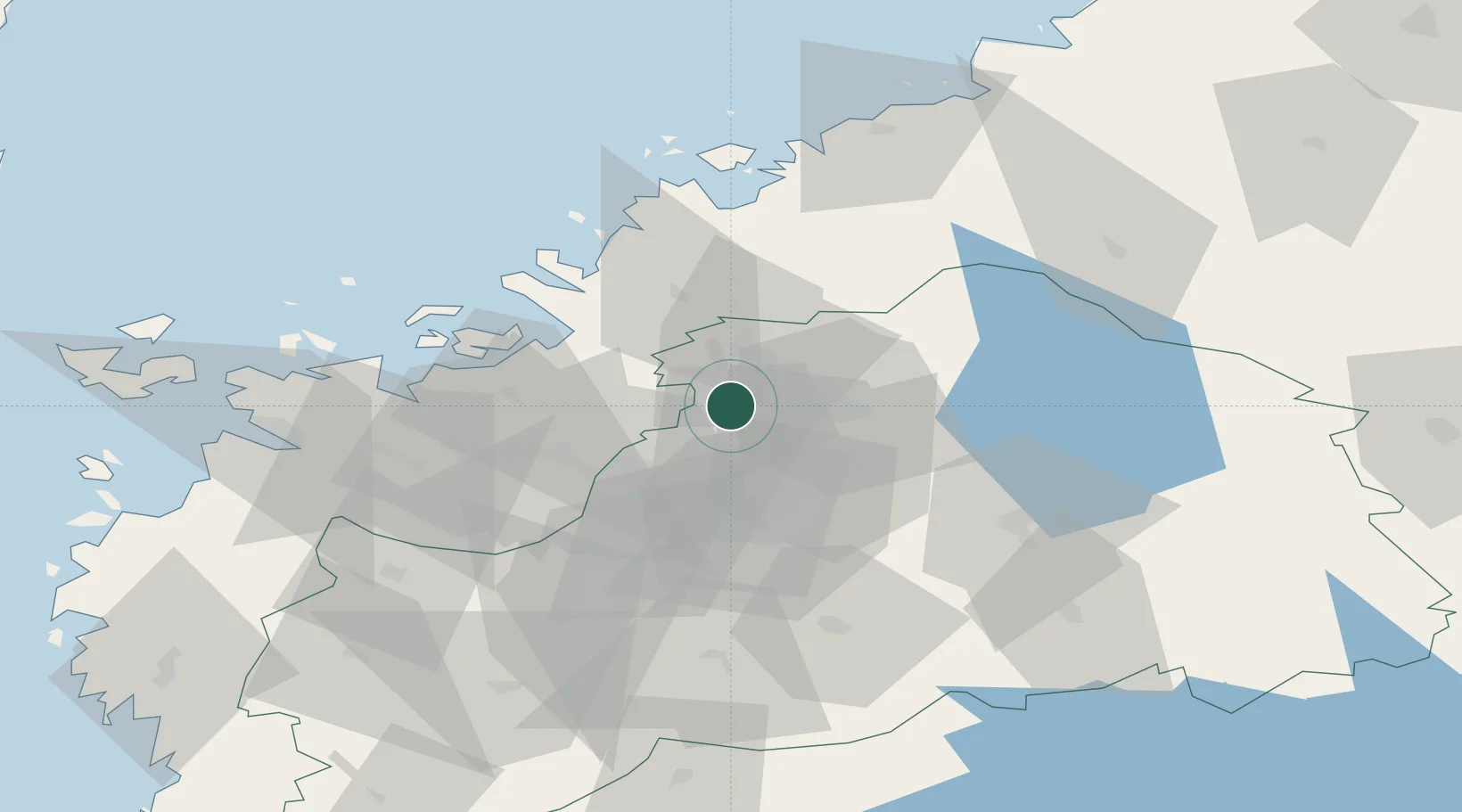
Nearby Logistics Neighbours

Cities
  1. 1Nurmo34 km
  2. 2Tervajoki35 km
  3. 3Tottesund38 km
  4. 4Kylanpää43 km
  5. 5Lappajärvi44 km
Nearest neighbours — logibook spatial index (haversine) over the source coordinates
Ports
  1. 1Hellnas32 km
  2. 2Kantlax40 km
  3. 3Nykarleby44 km
  4. 4Vaasa60 km
  5. 5Pietarsaari61 km
Nearest neighbours — logibook spatial index (haversine) over the source coordinates
Airports
  1. 1Kauhava Airfield14 km
  2. 2Seinäjoki Airport49 km
  3. 3Vaasa Airport51 km
  4. 4Kokkola-Pietarsaari Airport68 km
  5. 5Kauhajoki Airfield77 km
Nearest neighbours — logibook spatial index (haversine) over the source coordinates
Trade Zones
  1. 1Oulu Port Free Warehouse Area244 km
  2. 2Turku Free Zone300 km
  3. 3Free Zone of Lappeenranta363 km
  4. 4Freeport of Hanko367 km
  5. 5Port of Hamina-Kotka368 km
Nearest neighbours — logibook spatial index (haversine) over the source coordinates
DatabookThe Record of Consolidated Knowledge
Finland beyond logistics?
Browse databook

All Sources

LocationsUN/LOCODE
UN/LOCODE — free
Portsthe NGA World Port Index
Public domain (US gov)
AirportsOurAirports
Public domain
Trade Zonesthe World Bank SEZ database
CC BY 4.0
Trade ZonesOpen Zone Map
CC BY
← Finland locations