Transport Functions
Port
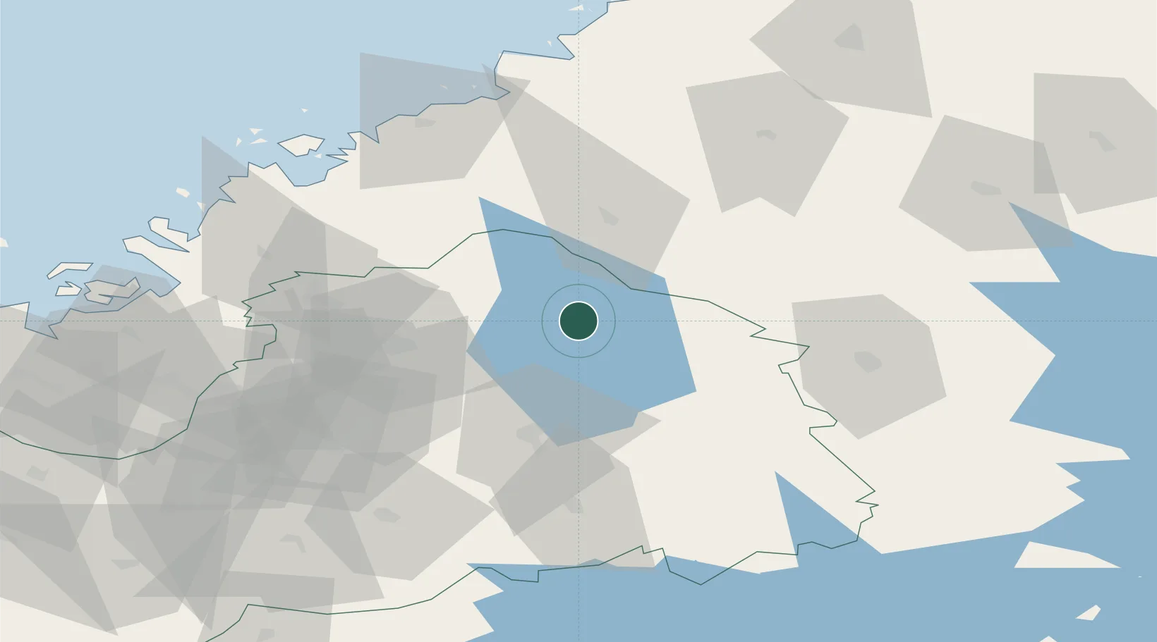
Location
Nearby Logistics Neighbours
Cities
- 1Vimpeli10 km
- 2Ylihärmä44 km
- 3Nurmo55 km
- 4Nedervetil58 km
- 5Kållby (Kolppi)60 km
Ports
- 1Nykarleby65 km
- 2Hellnas71 km
- 3Kantlax72 km
- 4Pietarsaari72 km
- 5Kokkola79 km
Airports
- 1Kauhava Airfield30 km
- 2Kokkola-Pietarsaari Airport63 km
- 3Seinäjoki Airport70 km
- 4Vaasa Airport96 km
- 5Kauhajoki Airfield103 km
Trade Zones
- 1Oulu Port Free Warehouse Area218 km
- 2Turku Free Zone315 km
- 3Free Zone of Lappeenranta334 km
- 4Port of Hamina-Kotka350 km
- 5Freeport of Hanko377 km
DatabookThe Record of Consolidated Knowledge
Finland beyond logistics?