Transport Functions
Port
Rail
Road
Airport
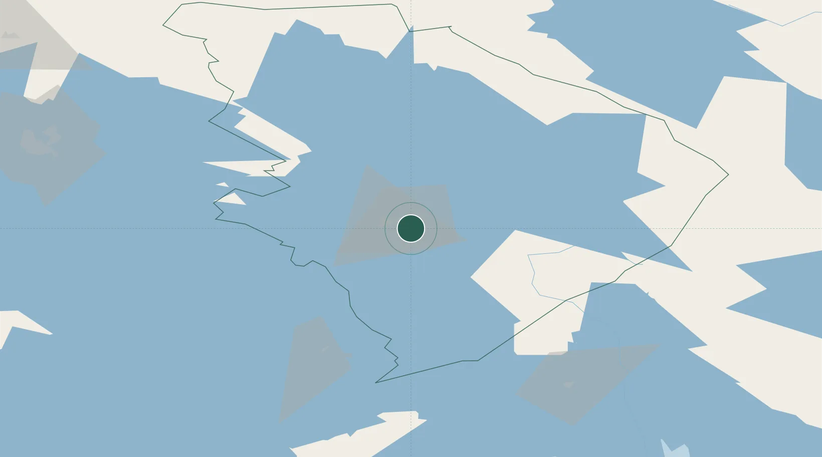
Hub Profile
Place type
Regional capital
Region
North Karelia
Population
78,398
Time zone
Europe/Helsinki
Elevation
72 m
Location
Nearby Logistics Neighbours
Ports
- 1Vyborg216 km
- 2Gavan Vysotsk230 km
- 3Primorsk256 km
- 4Hamina264 km
- 5Kotka280 km
Airports
- 1Joensuu Airport10 km
- 2Kitee Airport51 km
- 3Savonlinna Airport85 km
- 4Varkaus Airport109 km
- 5Kuopio Airport110 km
Trade Zones
DatabookThe Record of Consolidated Knowledge
Finland beyond logistics?