Transport Functions
Port
Rail
Road
Hub Profile
Region
02
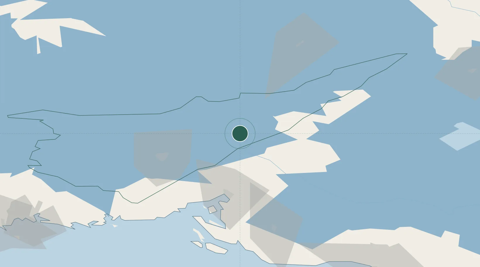
Location
Nearby Logistics Neighbours
Cities
- 1Imatra7 km
- 2Joutseno22 km
- 3Mustola32 km
- 4Lappeenranta (Villmanstrand)39 km
- 5Parikkala52 km
Ports
- 1Vyborg56 km
- 2Gavan Vysotsk68 km
- 3Primorsk95 km
- 4Hamina113 km
- 5Kotka130 km
Airports
- 1Lappeenranta Airport41 km
- 2Savonlinna Airport81 km
- 3Pribylovo Naval Air Base84 km
- 4Mikkeli Airport101 km
- 5Utti Air Base107 km
Trade Zones
- 1Free Zone of Lappeenranta43 km
- 2Port of Hamina-Kotka131 km
- 3St Petersburg Technology Innovative Special Economic Zone166 km
- 4Port of Sillamäe209 km
- 5Muuga Free Zone299 km
DatabookThe Record of Consolidated Knowledge
Finland beyond logistics?