Transport Functions
Port
Rail
Road
Hub Profile
Place type
District seat
Region
South Karelia
Population
4,274
Time zone
Europe/Helsinki
Elevation
100 m
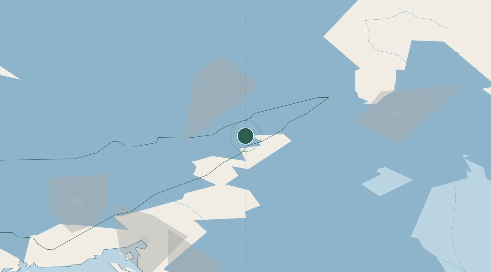
Location
Nearby Logistics Neighbours
Cities
- 1Särkisalmi6 km
- 2Kesälahti41 km
- 3Nyslott (Savonlinna)47 km
- 4Vuoksen Terminal52 km
- 5Imatra58 km
Ports
- 1Vyborg101 km
- 2Gavan Vysotsk115 km
- 3Primorsk140 km
- 4Hamina165 km
- 5Kronshtadt175 km
Airports
- 1Savonlinna Airport53 km
- 2Kitee Airport75 km
- 3Lappeenranta Airport92 km
- 4Varkaus Airport110 km
- 5Mikkeli Airport122 km
Trade Zones
- 1Free Zone of Lappeenranta93 km
- 2Port of Hamina-Kotka183 km
- 3St Petersburg Technology Innovative Special Economic Zone192 km
- 4Port of Sillamäe256 km
- 5Muuga Free Zone351 km
DatabookThe Record of Consolidated Knowledge
Finland beyond logistics?