Transport Functions
Port
Hub Profile
Region
14
Logistics facilities
1
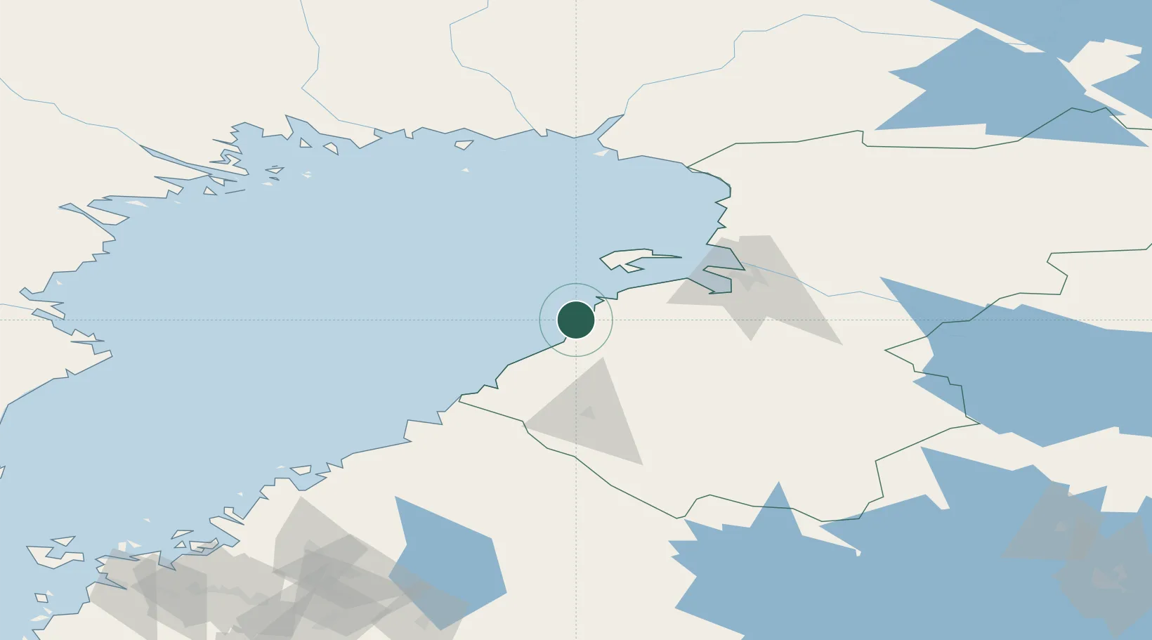
Location
Nearby Logistics Neighbours
Cities
- 1Lapaluoto1 km
- 2Rautaruukki2 km
- 3Parhalahti20 km
- 4Ruukki32 km
- 5Hailuoto42 km
Ports
- 1Oulu61 km
- 2Rahja61 km
- 3Himanka83 km
- 4Kokkola113 km
- 5Veitsiluoto116 km
Airports
- 1Oulu Airport53 km
- 2Ylivieska Airfield69 km
- 3Kokkola-Pietarsaari Airport122 km
- 4Kemi-Tornio Airport124 km
- 5Luleå Airport145 km
Trade Zones
- 1Oulu Port Free Warehouse Area60 km
- 2Free Zone of Lappeenranta444 km
- 3Turku Free Zone483 km
- 4Port of Hamina-Kotka484 km
- 5Freeport of Hanko543 km
DatabookThe Record of Consolidated Knowledge
Finland beyond logistics?