Transport Functions
Port
Multimodal
Hub Profile
Place type
Populated place
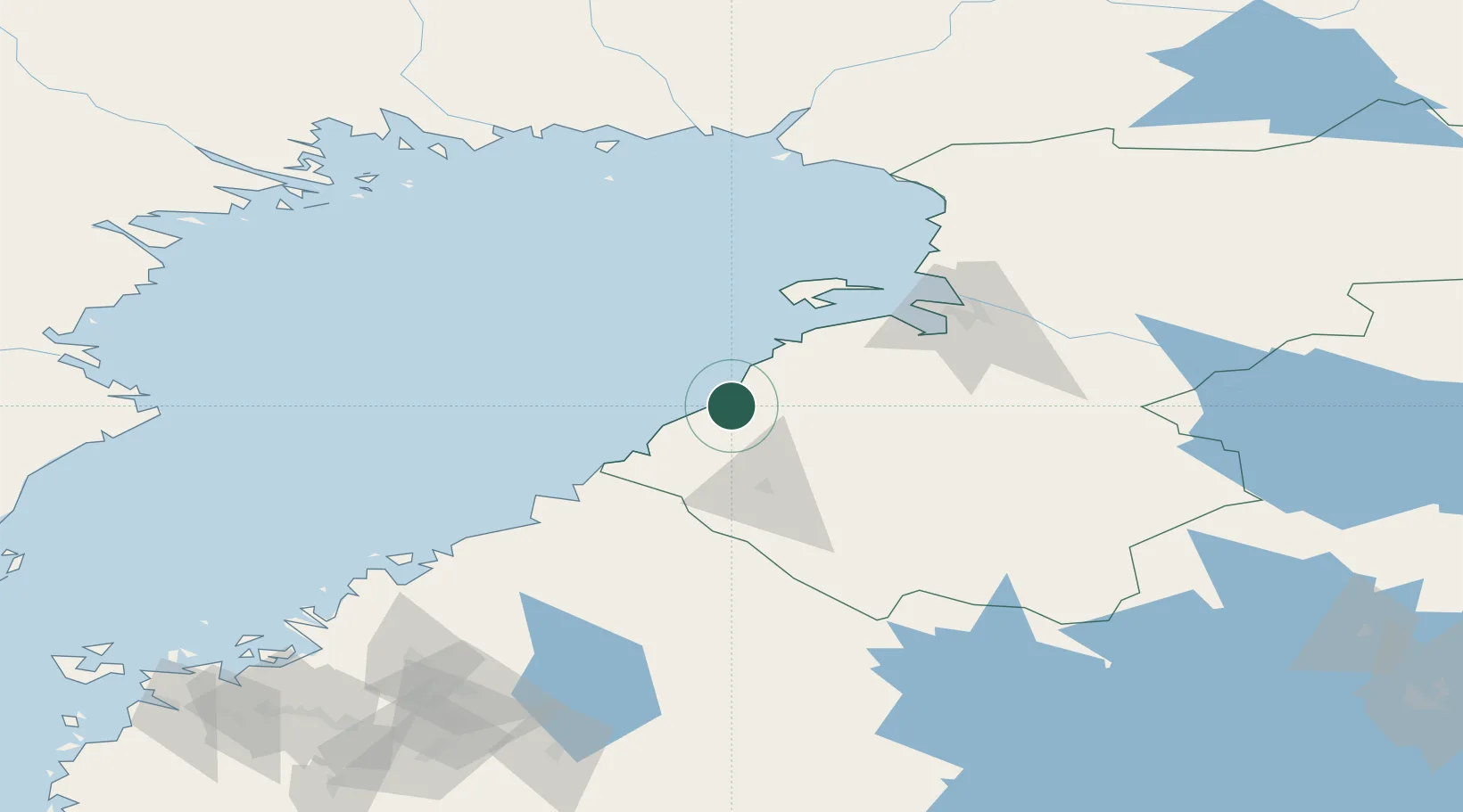
Region
North Ostrobothnia
Time zone
Europe/Helsinki
Elevation
14 m
Location
Nearby Logistics Neighbours
Cities
- 1Rautaruukki19 km
- 2Brahestad (Raahe)20 km
- 3Lapaluoto21 km
- 4Kalajoki32 km
- 5Oulainen33 km
Airports
- 1Ylivieska Airfield51 km
- 2Oulu Airport69 km
- 3Kokkola-Pietarsaari Airport103 km
- 4Kemi-Tornio Airport145 km
- 5Luleå Airport157 km
Trade Zones
- 1Oulu Port Free Warehouse Area77 km
- 2Free Zone of Lappeenranta428 km
- 3Turku Free Zone462 km
- 4Port of Hamina-Kotka466 km
- 5Freeport of Hanko523 km
DatabookThe Record of Consolidated Knowledge
Finland beyond logistics?