Transport Functions
Port
Road
Hub Profile
Place type
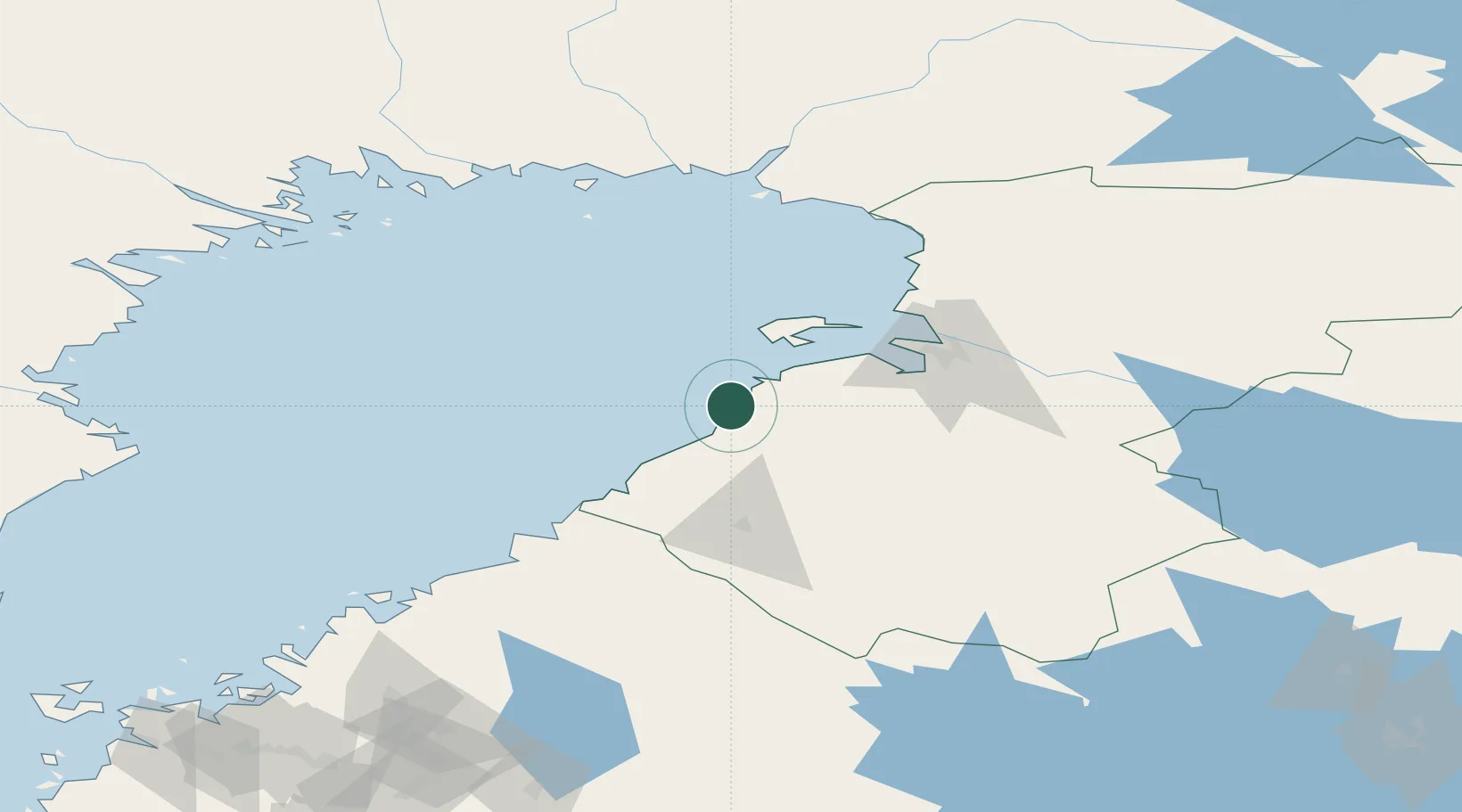
Populated place
Region
North Ostrobothnia
Time zone
Europe/Helsinki
Elevation
3 m
Location
Nearby Logistics Neighbours
Cities
- 1Brahestad (Raahe)1 km
- 2Rautaruukki2 km
- 3Parhalahti21 km
- 4Ruukki31 km
- 5Hailuoto42 km
Airports
- 1Oulu Airport53 km
- 2Ylivieska Airfield70 km
- 3Kokkola-Pietarsaari Airport122 km
- 4Kemi-Tornio Airport124 km
- 5Luleå Airport146 km
Trade Zones
- 1Oulu Port Free Warehouse Area59 km
- 2Free Zone of Lappeenranta444 km
- 3Turku Free Zone483 km
- 4Port of Hamina-Kotka484 km
- 5Freeport of Hanko544 km
DatabookThe Record of Consolidated Knowledge
Finland beyond logistics?