Transport Functions
Port
Road
Hub Profile
Place type
District seat
Region
South Savo
Population
1,285
Time zone
Europe/Helsinki
Elevation
103 m
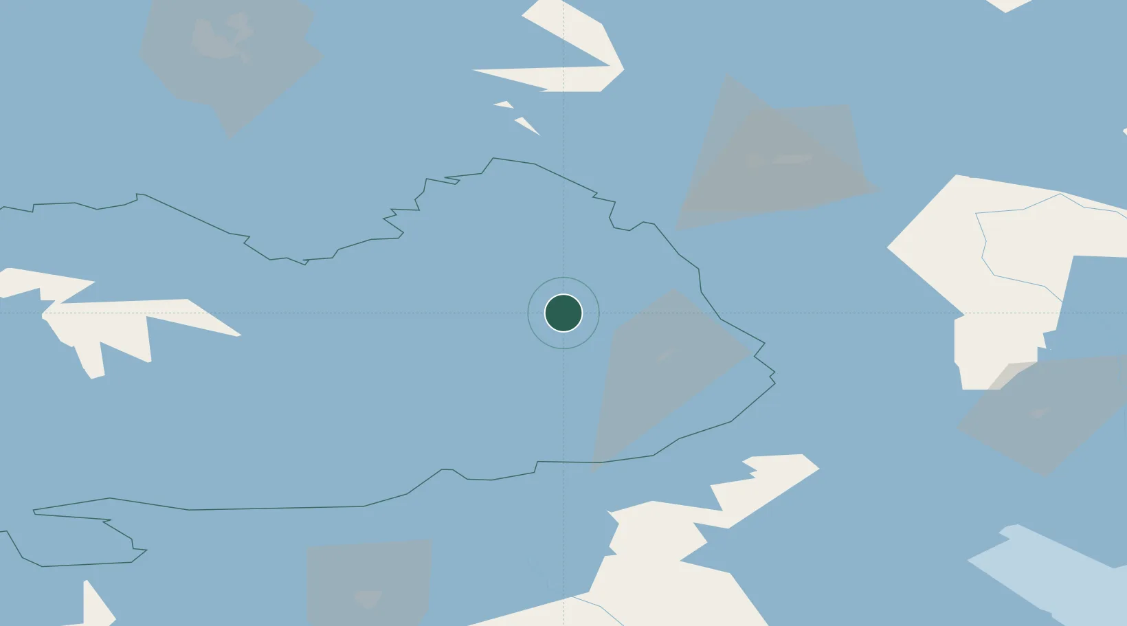
Location
Nearby Logistics Neighbours
Cities
- 1Nyslott (Savonlinna)24 km
- 2Asikkala25 km
- 3Puhos52 km
- 4Kesälahti53 km
- 5Varkaus59 km
Ports
- 1Vyborg152 km
- 2Gavan Vysotsk164 km
- 3Primorsk192 km
- 4Hamina192 km
- 5Kotka208 km
Airports
- 1Savonlinna Airport16 km
- 2Varkaus Airport55 km
- 3Kitee Airport61 km
- 4Joensuu Airport74 km
- 5Mikkeli Airport100 km
Trade Zones
DatabookThe Record of Consolidated Knowledge
Finland beyond logistics?