Transport Functions
Port
Hub Profile
Region
18
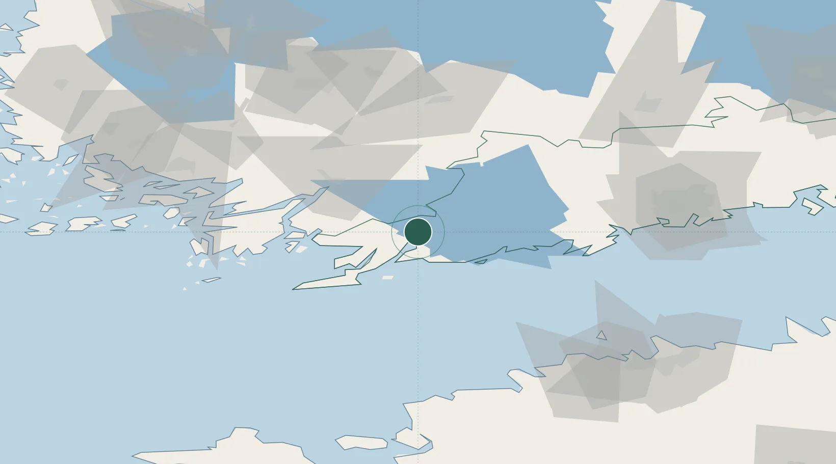
Location
Nearby Logistics Neighbours
Cities
- 1Fiskars2 km
- 2Snappertuna14 km
- 3Tenala15 km
- 4Ekenäs (Tammisaari)18 km
- 5Gullö20 km
Airports
- 1Helsinki Vantaa Airport81 km
- 2Turku Airport84 km
- 3Tallinn Linnahall Heliport100 km
- 4Ämari Air Base102 km
- 5Lennart Meri Tallinn Airport106 km
Trade Zones
- 1Freeport of Hanko49 km
- 2Turku Free Zone82 km
- 3Paldiski Free Zone92 km
- 4Muuga Free Zone123 km
- 5Port of Hamina-Kotka191 km
DatabookThe Record of Consolidated Knowledge
Finland beyond logistics?