Transport Functions
Road
Multimodal
Hub Profile
Place type
Populated place
Region
Central Finland
Time zone
Europe/Helsinki
Elevation
101 m
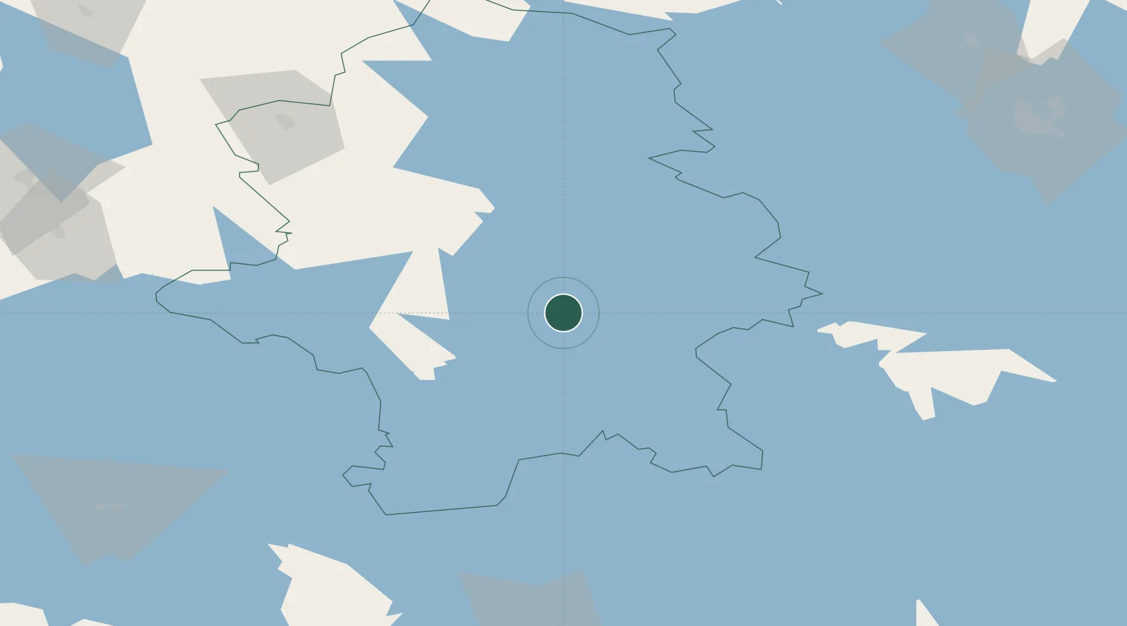
Location
Nearby Logistics Neighbours
Cities
- 1Jyväskylä4 km
- 2Tikkakoski13 km
- 3Laukaa20 km
- 4Kintaus20 km
- 5Hankasalmi40 km
Airports
- 1Jyväskylä Airport13 km
- 2Halli Airport67 km
- 3Mikkeli Airport103 km
- 4Varkaus Airport113 km
- 5Kuopio Airport134 km
Trade Zones
- 1Free Zone of Lappeenranta188 km
- 2Port of Hamina-Kotka212 km
- 3Turku Free Zone276 km
- 4Oulu Port Free Warehouse Area302 km
- 5Freeport of Hanko312 km
DatabookThe Record of Consolidated Knowledge
Finland beyond logistics?