Transport Functions
Port
Rail
Road
Multimodal
Hub Profile
Place type
District seat
Region
Central Finland
Population
18,876
Time zone
Europe/Helsinki
Elevation
89 m
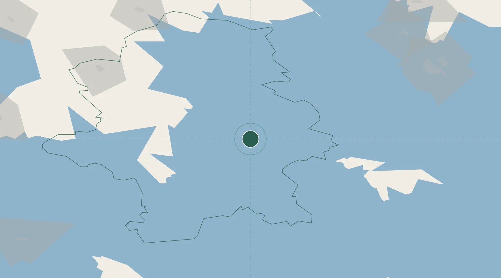
Location
Nearby Logistics Neighbours
Cities
- 1Tikkakoski16 km
- 2Palokka20 km
- 3Jyväskylä22 km
- 4Hankasalmi25 km
- 5Kintaus37 km
Airports
- 1Jyväskylä Airport14 km
- 2Halli Airport87 km
- 3Varkaus Airport103 km
- 4Mikkeli Airport104 km
- 5Kuopio Airport115 km
Trade Zones
- 1Free Zone of Lappeenranta191 km
- 2Port of Hamina-Kotka223 km
- 3Oulu Port Free Warehouse Area288 km
- 4Turku Free Zone296 km
- 5Freeport of Hanko331 km
DatabookThe Record of Consolidated Knowledge
Finland beyond logistics?