Transport Functions
Rail
Road
Hub Profile
Place type
District seat
Region
Central Finland
Population
4,468
Time zone
Europe/Helsinki
Elevation
116 m
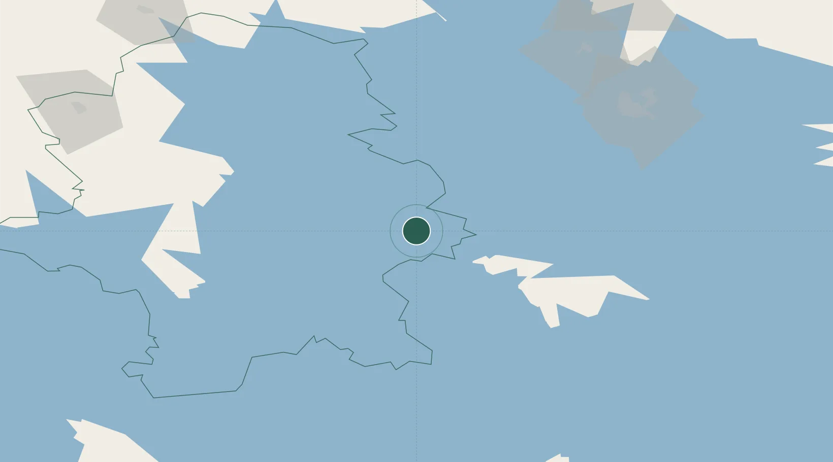
Location
Nearby Logistics Neighbours
Cities
- 1Laukaa25 km
- 2Naarajärvi35 km
- 3Jyväskylä39 km
- 4Palokka40 km
- 5Tikkakoski41 km
Ports
- 1Hamina206 km
- 2Kotka215 km
- 3Loviisa215 km
- 4Vyborg222 km
- 5Gavan Vysotsk227 km
Airports
- 1Jyväskylä Airport39 km
- 2Varkaus Airport78 km
- 3Mikkeli Airport87 km
- 4Kuopio Airport98 km
- 5Halli Airport104 km
Trade Zones
- 1Free Zone of Lappeenranta174 km
- 2Port of Hamina-Kotka215 km
- 3Oulu Port Free Warehouse Area295 km
- 4Turku Free Zone311 km
- 5Port of Sillamäe337 km
DatabookThe Record of Consolidated Knowledge
Finland beyond logistics?