Transport Functions
Road
Multimodal
Hub Profile
Place type
Populated place
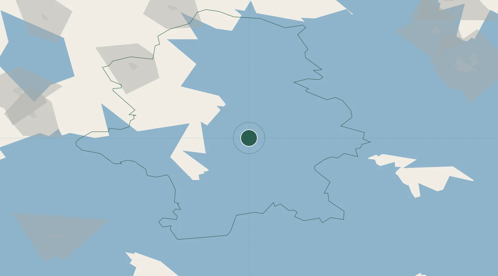
Region
Central Finland
Time zone
Europe/Helsinki
Elevation
133 m
Location
Nearby Logistics Neighbours
Cities
- 1Palokka13 km
- 2Laukaa16 km
- 3Jyväskylä18 km
- 4Kintaus22 km
- 5Hankasalmi41 km
Ports
- 1Hellnas199 km
- 2Nykarleby200 km
- 3Himanka204 km
- 4Kantlax204 km
- 5Pietarsaari207 km
Airports
- 1Jyväskylä Airport2 km
- 2Halli Airport75 km
- 3Mikkeli Airport114 km
- 4Varkaus Airport118 km
- 5Kuopio Airport129 km
Trade Zones
- 1Free Zone of Lappeenranta200 km
- 2Port of Hamina-Kotka226 km
- 3Turku Free Zone284 km
- 4Oulu Port Free Warehouse Area289 km
- 5Freeport of Hanko322 km
DatabookThe Record of Consolidated Knowledge
Finland beyond logistics?