UN/LOCODE hub · Finland
FIKJO

Kalajoki

64.2500°, 23.9500°
12,231
Population
1
Transport functions

Transport Functions

Port
Kalajoki is also a profiled seaport →
UN/LOCODE

Hub Profile

Place type
District seat
GeoNames
Region
North Ostrobothnia
GeoNames
Population
12,231
GeoNames
Time zone
Europe/Helsinki
GeoNames
Elevation
16 m
GeoNames

Location

Location of FIKJO
Natural Earth 10m (public domain) · North Ostrobothnia · FIKJO · 64.25, 23.95GoogleOSMYandex

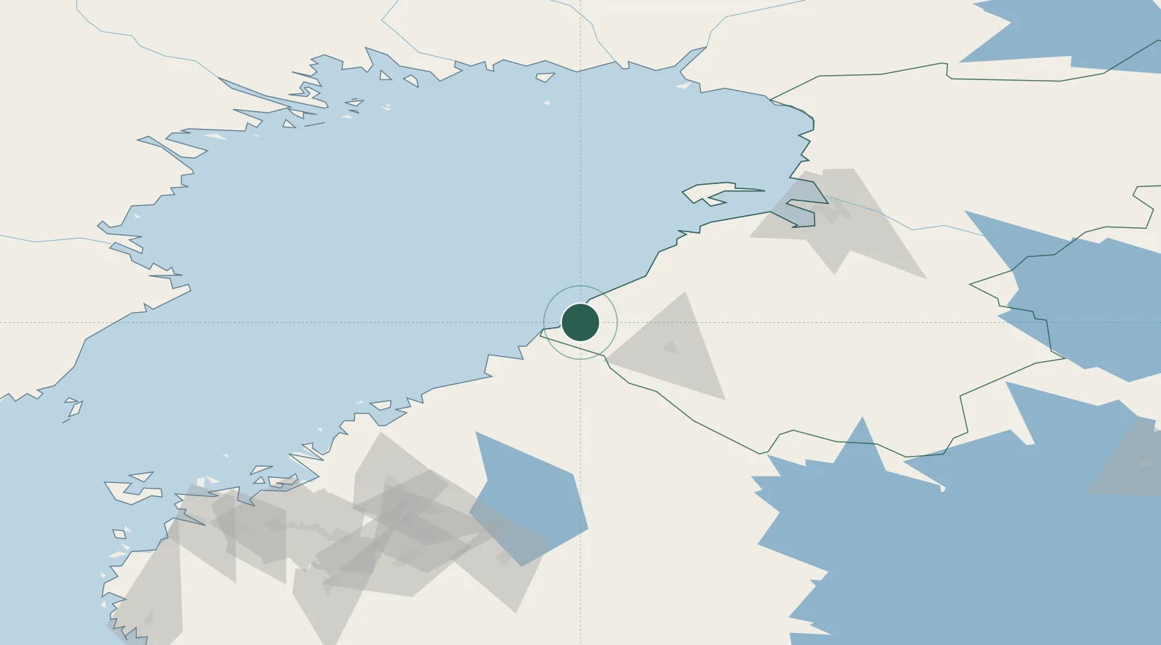
Nearby Logistics Neighbours

Cities
  1. 1Himankakylä15 km
  2. 2Himanka25 km
  3. 3Parhalahti32 km
  4. 4Oulainen41 km
  5. 5Rautaruukki50 km
Nearest neighbours — logibook spatial index (haversine) over the source coordinates
Ports
  1. 1Himanka31 km
  2. 2Raahe53 km
  3. 3Kokkola64 km
  4. 4Pietarsaari89 km
  5. 5Nykarleby107 km
Nearest neighbours — logibook spatial index (haversine) over the source coordinates
Airports
  1. 1Ylivieska Airfield43 km
  2. 2Kokkola-Pietarsaari Airport71 km
  3. 3Oulu Airport101 km
  4. 4Kauhava Airfield133 km
  5. 5Skellefteå Airport144 km
Nearest neighbours — logibook spatial index (haversine) over the source coordinates
Trade Zones
  1. 1Oulu Port Free Warehouse Area108 km
  2. 2Free Zone of Lappeenranta415 km
  3. 3Turku Free Zone433 km
  4. 4Port of Hamina-Kotka448 km
  5. 5Freeport of Hanko495 km
Nearest neighbours — logibook spatial index (haversine) over the source coordinates
DatabookThe Record of Consolidated Knowledge
Finland beyond logistics?
Browse databook

All Sources

LocationsUN/LOCODE
UN/LOCODE — free
LocationsGeoNames
CC BY 4.0
Portsthe NGA World Port Index
Public domain (US gov)
AirportsOurAirports
Public domain
Trade Zonesthe World Bank SEZ database
CC BY 4.0
Trade ZonesOpen Zone Map
CC BY
← Finland locations