Transport Functions
Rail
Road
Hub Profile
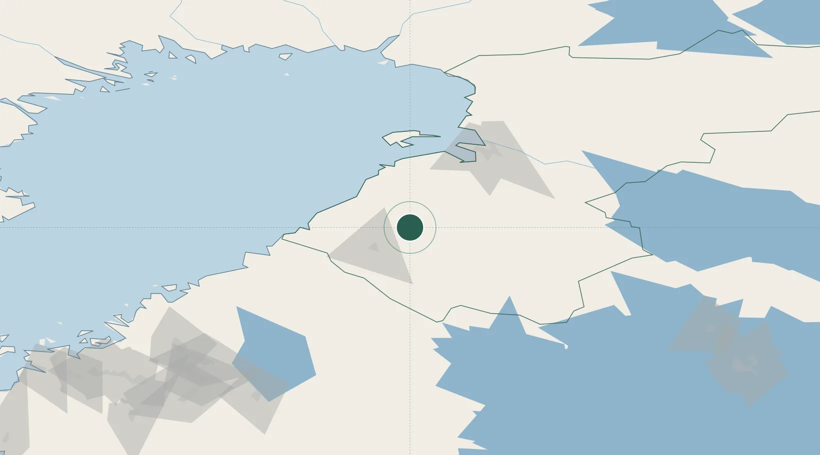
Place type
District seat
Region
North Ostrobothnia
Population
6,887
Time zone
Europe/Helsinki
Elevation
72 m
Location
Nearby Logistics Neighbours
Cities
- 1Parhalahti33 km
- 2Kalajoki41 km
- 3Ruukki45 km
- 4Rautaruukki46 km
- 5Brahestad (Raahe)48 km
Airports
- 1Ylivieska Airfield24 km
- 2Oulu Airport78 km
- 3Kokkola-Pietarsaari Airport101 km
- 4Kajaani Airport140 km
- 5Kauhava Airfield153 km
Trade Zones
- 1Oulu Port Free Warehouse Area86 km
- 2Free Zone of Lappeenranta396 km
- 3Port of Hamina-Kotka436 km
- 4Turku Free Zone445 km
- 5Freeport of Hanko503 km
DatabookThe Record of Consolidated Knowledge
Finland beyond logistics?