UN/LOCODE hub · Finland
FIHMA

Himankakylä

64.1667°, 23.7000°
2
Transport functions

Transport Functions

Port
Road
UN/LOCODE

Hub Profile

Region
07
GeoNames

Location

Location of FIHMA
Natural Earth 10m (public domain) · 07 · FIHMA · 64.17, 23.70GoogleOSMYandex

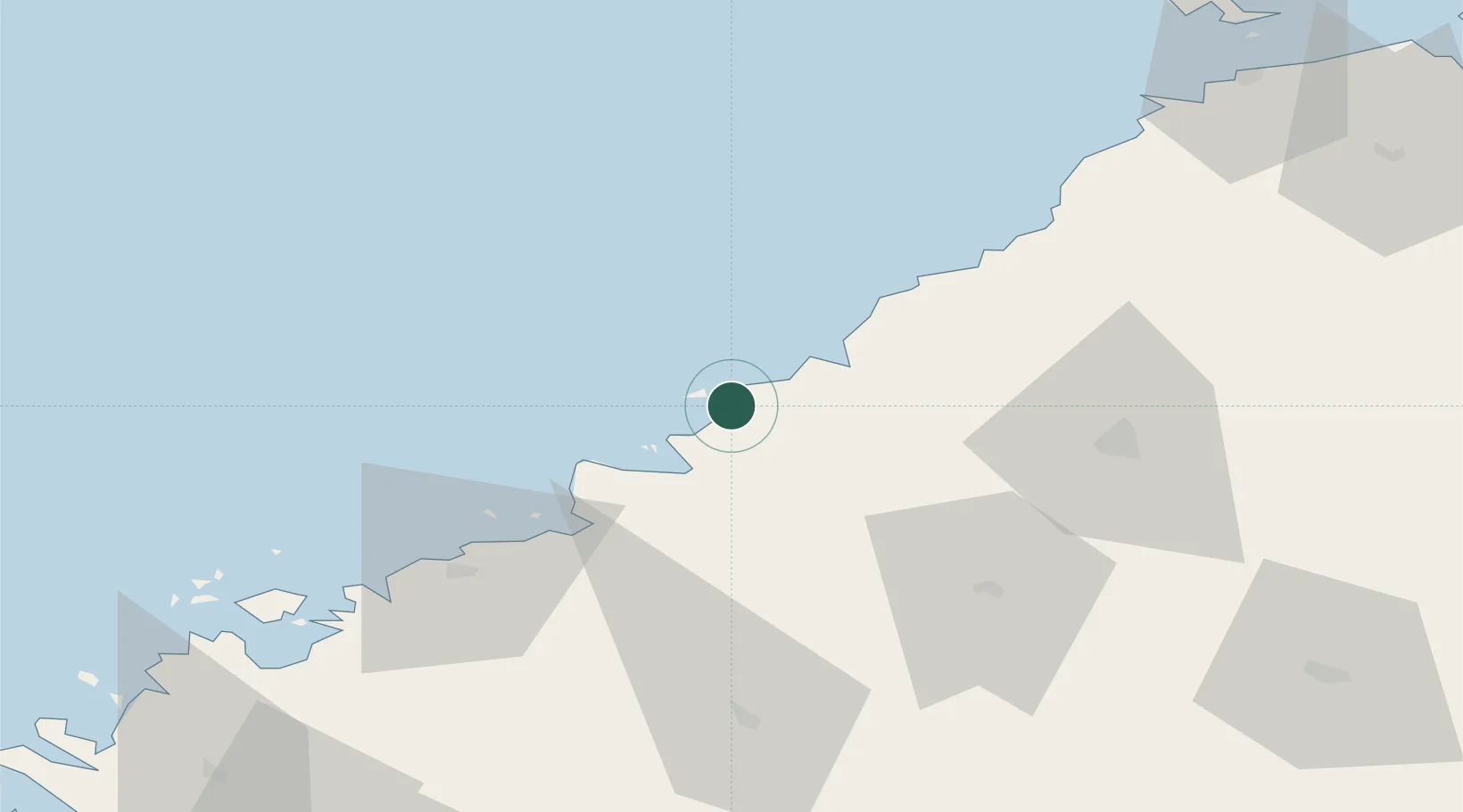
Nearby Logistics Neighbours

Cities
  1. 1Himanka11 km
  2. 2Kalajoki15 km
  3. 3Parhalahti47 km
  4. 4Karleby (Kokkola)48 km
  5. 5Yxpila49 km
Nearest neighbours — logibook spatial index (haversine) over the source coordinates
Ports
  1. 1Rahja6 km
  2. 2Himanka19 km
  3. 3Kokkola49 km
  4. 4Raahe67 km
  5. 5Pietarsaari74 km
Nearest neighbours — logibook spatial index (haversine) over the source coordinates
Airports
  1. 1Ylivieska Airfield51 km
  2. 2Kokkola-Pietarsaari Airport57 km
  3. 3Oulu Airport116 km
  4. 4Kauhava Airfield120 km
  5. 5Skellefteå Airport136 km
Nearest neighbours — logibook spatial index (haversine) over the source coordinates
Trade Zones
  1. 1Oulu Port Free Warehouse Area123 km
  2. 2Free Zone of Lappeenranta414 km
  3. 3Turku Free Zone421 km
  4. 4Port of Hamina-Kotka444 km
  5. 5Freeport of Hanko484 km
Nearest neighbours — logibook spatial index (haversine) over the source coordinates
DatabookThe Record of Consolidated Knowledge
Finland beyond logistics?
Browse databook

All Sources

LocationsUN/LOCODE
UN/LOCODE — free
Portsthe NGA World Port Index
Public domain (US gov)
AirportsOurAirports
Public domain
Trade Zonesthe World Bank SEZ database
CC BY 4.0
Trade ZonesOpen Zone Map
CC BY
← Finland locations